



Trdnjava Kluže - Trdnjava Hermann (General)
0 h 30 min




 Weather
 Nearest webcam
| Rating: | |
| Country: | Slovenia |
| Mountain range: | Julian Alps |
| Trailhead: | Trdnjava Kluže (535 m) |
| Destination: | Trdnjava Hermann (635 m) |
| Trailhead latitude/longitude: | 46.3612 / 13.5893 |
| Destination latitude/longitude: | 46.3599 / 13.588 |
| Difficulty: | Easy marked route  |
| Recommended equipment: | Hiking poles Hiking shoes |
Coming from Bovec, head toward Log pod Mangartom. Follow the road for just a few minutes, and you’ll see the large Kluže Fortress on the right side of the road. Park along the road; you’ll find parking spaces on both sides.
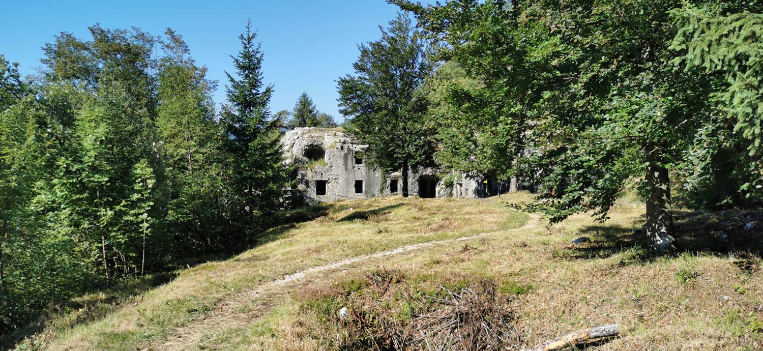
Trail description:The trailhead is located on the opposite side of the road from the fortress. The trail first leads to a cave, in front of which it turns right and, after a few dozen meters, brings us to a tunnel. After crossing the tunnel, the trail enters the forest and begins a moderate ascent. It soon splits; take the left path, which soon makes a 180-degree turn and leads to the fortress.
Additional tips:No additional tips.


