



Trdnjava Kluže - Na Robu (Kota 1313) (General)
2 h 0 min




 Weather
 Nearest webcam
| Rating: | |
| Country: | Slovenia |
| Mountain range: | Julian Alps |
| Trailhead: | Trdnjava Kluže (535 m) |
| Destination: | Na Robu (Kota 1313) (1313 m) |
| Trailhead latitude/longitude: | 46.3612 / 13.5893 |
| Destination latitude/longitude: | 46.3612 / 13.5755 |
| Difficulty: | Easy marked route  |
| Recommended equipment: | Hiking poles Hiking shoes Water Snack |
Coming from Bovec, head toward Log pod Mangartom. Follow the road for just a few minutes, and you’ll see the large Kluže Fortress on the right side of the road. Park along the road; you’ll find parking spaces on both sides.
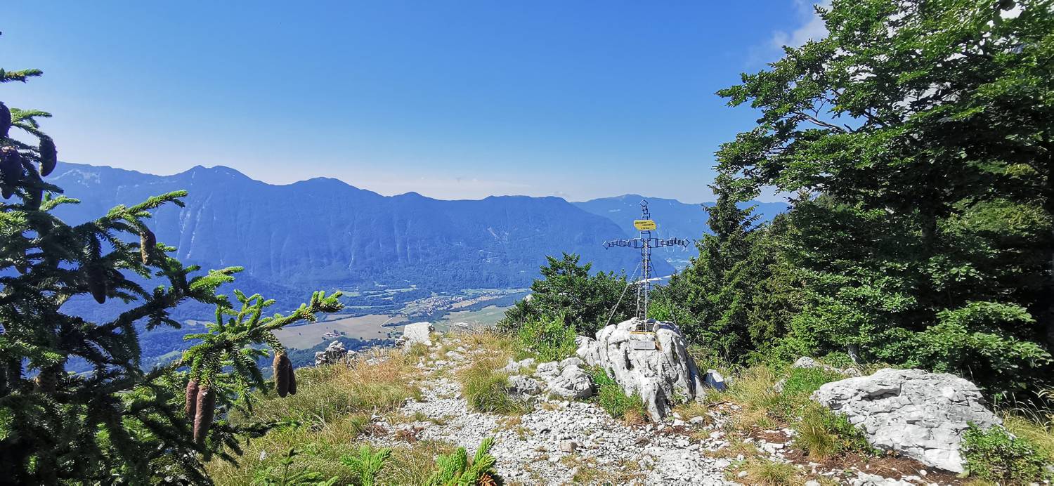
Trail description:The trailhead is located on the opposite side of the road from the fortress. The trail first leads to a cave, in front of which it turns right and, after a few dozen meters, brings us to a tunnel. After crossing the tunnel, the trail enters the forest and begins to climb moderately. It soon splits; take the left path, which quickly makes a 180-degree turn and leads to the fortress. Here, in front of the fortress, turn right, as indicated by the signpost. The main part of the trail follows—a steep ascent along the path, where you should continue straight ahead even at the well-marked fork in the trail. Just a few minutes before the destination, the trail will split again; this time, however, the split is not marked and is much harder to see. It’s at a spot where the trail levels off briefly. Here, turn left, and the trail will quickly lead you out of the forest and to your destination.
Additional tips:No additional tips.


