



Jurandvor - Zakam (General)
1 h 0 min




 Weather
 Nearest webcam
| Rating: | |
| Country: | Croatia |
| Mountain range: | Krk Island |
| Trailhead: | Jurandvor (35 m) |
| Destination: | Zakam (194 m) |
| Trailhead latitude/longitude: | 44.9773 / 14.7383 |
| Destination latitude/longitude: | 44.9776 / 14.7506 |
| Difficulty: | Easy marked route  |
| Recommended equipment: | Hiking poles Hiking shoes Water |
From Baška on Krk, head toward Jurandvor. In the village, at a major intersection without traffic lights, turn right toward Sveta Lucija. Drive to the church and cemetery; there is a parking lot in front of them where you can park.
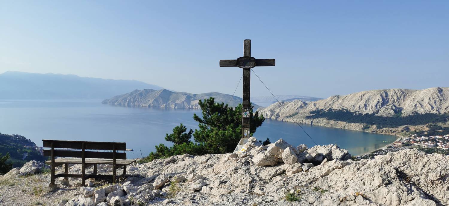
Trail description:On foot, continue along the road at first (if you’re facing the church, head left along the road) until the road you’re on joins another road. Here, turn right up the hill. When the road ends, you’ll see the first trail markers. Enter the forest and join the narrow trail, which begins to climb immediately. The trail crosses pastureland several times. After a long walk, the trail levels out and leads through a pine forest to a fork in the trail. Turn right toward Zakam and continue along the gentle path all the way to the summit, which is just a few minutes’ walk away.
Additional tips:No additional tips.
![[object Object] - [object Object] main photo](https://api.mountainsgeek.com/media/IMG_20220623_071951_k2QNTdc.jpg)


