



Cerknica - Planinski dom na Slivnici (General)
1 h 35 min




 Weather
 Nearest webcam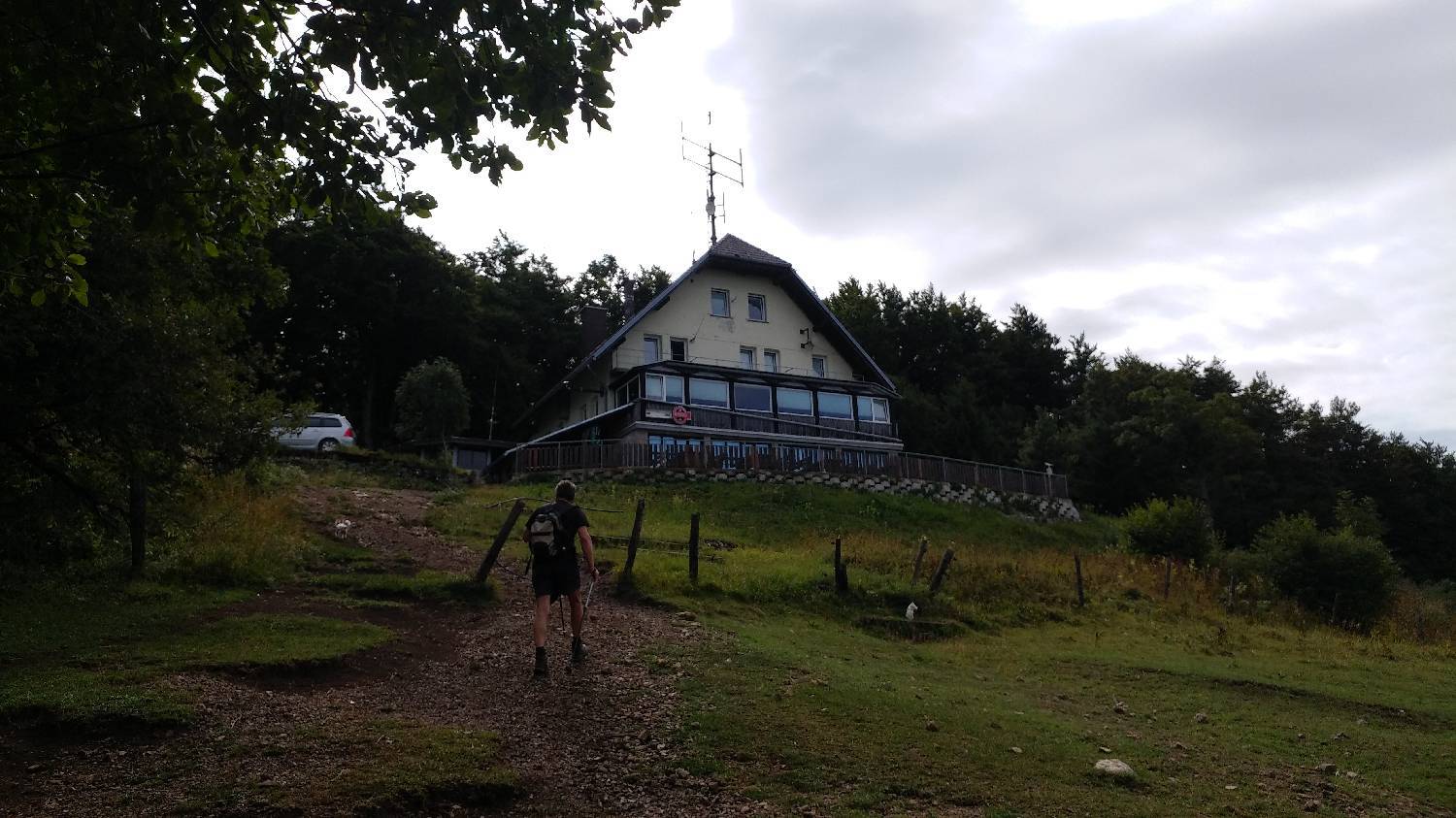
| Rating: | |
| Country: | Slovenia |
| Mountain range: | The Goriška, Notranjska, and Snežnik Mountain Ranges |
| Trailhead: | Cerknica (580 m) |
| Destination: | Planinski dom na Slivnici (1075 m) |
| Trailhead latitude/longitude: | 45.7928 / 14.3674 |
| Destination latitude/longitude: | 45.7897 / 14.4058 |
| Difficulty: | Easy marked route  |
| Recommended equipment: | Hiking poles Hiking shoes Water |
If you’re driving on the highway, take the Unec exit. Immediately at the intersection, turn left and follow the road straight ahead all the way to Cerknica. When you arrive in Cerknica, keep an eye out for the bridge over the Cerkniščica River, which you’ll cross shortly. As soon as you cross it, you’ll see a restaurant on your left. Just past it, there’s a road leading to the left—that’s where we turn. Just a few hundred meters further, and we’ll reach a large parking lot, where we’ll park. From here, we continue on foot.
Trail description:The trail first crosses an asphalt road and immediately begins to climb along a forest path. We climb along this path for quite some time, crossing several gravel roads along the way. At the first fork, we keep to the right, as indicated by the trail marker. Shortly after, we reach a fenced-in meadow that we must cross. Cows and horses graze here. Once we leave the meadow, the trail takes us back into the forest. We follow the trail, which soon leads us out of the forest, just before the Dom na Slivnici mountain hut.
Additional tips:No additional tips.
![[object Object] - [object Object] main photo](https://api.mountainsgeek.com/media/IMG_20220508_155357.jpg)


