



Čiginj - Čiginj (General)
Krožna pot: Sleme (Solariji)
4 h 0 min




 Weather
 Nearest webcam
| Rating: | |
| Country: | Slovenia |
| Mountain range: | Julian Alps |
| Trailhead: | Čiginj (232 m) |
| Destination: | Čiginj (232 m) |
| Trailhead latitude/longitude: | 46.1704 / 13.7096 |
| Destination latitude/longitude: | 46.1704 / 13.7096 |
| Difficulty: | Easy unmarked route  |
| Recommended equipment: | Hiking poles Hiking shoes Water Snack |
If you’re driving from Tolmin toward Nova Gorica, just past the village of Volče, along the road leading to the village of Čiginj, you’ll see the Gostol TST factory on your right; a few hundred meters further on, there’s a turnoff to the left, where you’ll turn. Immediately after the turn, turn left again onto a dead-end road, where you’ll park.
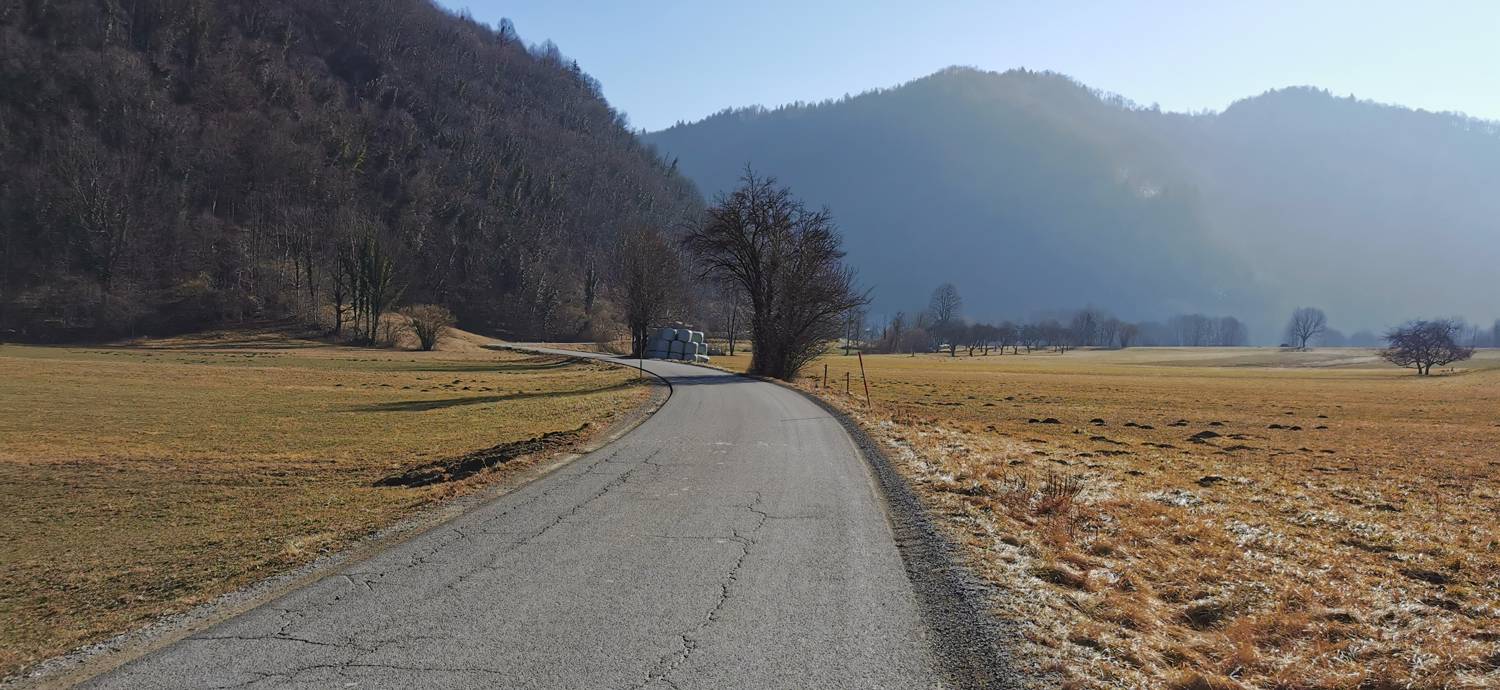
Trail description:From the parking lot, we head back the way we came, but only as far as the intersection, where we do not turn right in the direction we came from, but instead continue straight ahead on the side road. Once we pass the weekend cottage on the left, a dirt road will branch off to the right; we’ll turn onto it. We’ll cross the stream and walk along the path through the meadow to the village. In the village, we’ll reach the main road and turn left. After a few meters, you’ll see another road across the street. Carefully cross the main road and join the narrower road that leads uphill. At the yellow house, you’ll see a sign for the waterfall, which directs you to the right into the forest. A longer climb follows, during which we’ll also pass by the waterfall. Shortly after the waterfall, there’s a fork in the trail. Keep left and continue climbing. The climb continues all the way to Slemen and is the longest section of the trail so far. During the climb, you’ll also be able to see some military ruins. On the way back to the starting point, the first part of the trail is the same, so you’ll return the way you came—specifically, to the fork located before the waterfall (on the way up, it was behind the waterfall). Here, we take a sharp left turn and continue down a steep descent. When the trail emerges from the forest, it forks. We turn left and, shortly thereafter, before a wooden cabin, turn right. We descend along the trail into the village, where we quickly reach the main road. We head left and walk along the main road for another ten meters or so; then, before the sign marking the end of Volč, we turn right onto a side road, which turns into a dirt track, and then into a narrow path, which we follow uphill to the main road. We cross the road and, after a few steps, reach the starting point.
Additional tips:No additional tips.
![[object Object] - [object Object] main photo](https://api.mountainsgeek.com/media/20180401_144126_KxzdJuK.jpg)
![[object Object] - [object Object] main photo](https://api.mountainsgeek.com/media/20180502_102459_tAEp5yb.jpg)
![[object Object] - [object Object] main photo](https://api.mountainsgeek.com/media/IMG_20220130_121115.jpg)


