



Kamno - Cerkev Svetega duha Libušnje (General)
1 h 0 min




 Weather
 Nearest webcam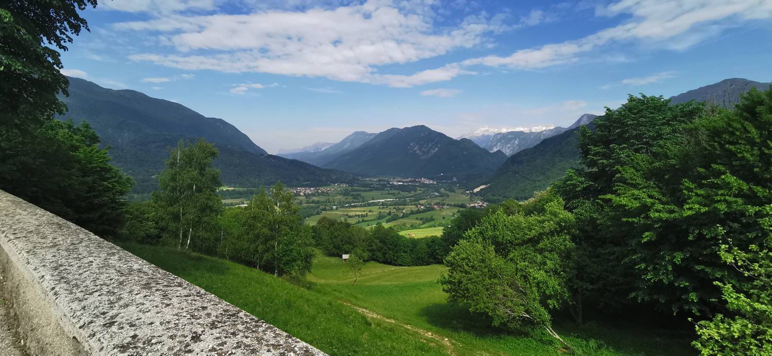
| Rating: | |
| Country: | Slovenia |
| Mountain range: | Julian Alps |
| Trailhead: | Kamno (215 m) |
| Destination: | Cerkev Svetega duha Libušnje (400 m) |
| Trailhead latitude/longitude: | 46.2125 / 13.6451 |
| Destination latitude/longitude: | 46.2259 / 13.6244 |
| Difficulty: | Easy unmarked route  |
| Recommended equipment: | Hiking shoes Water |
From Tolmin, head toward Kobarid. Along the way, a road branching off to the right will lead to Kamno; take that turn. Drive across the bridge, then turn right at the intersection by the chapel and continue to the cemetery on the left side of the road. Park in the small parking lot there.
Trail description:From the parking lot, continue along the gravel road that leads past the church and the former military cemetery. We continue to the village, where we turn left and head down the road. We go down only as far as the second (lower) yellow house on the right, in front of which we turn right, back onto the gravel road. Further on, the gravel road turns into asphalt again, and soon we reach a main road, which we join and turn right onto. We pass a vacation home and turn left immediately after it. The paved road turns back into a gravel road, and the path leads into the forest. Here, turn right at the second fork, then walk for quite some time along a forest path that is mostly flat. A steeper climb awaits you just before the village of Libušnje. In the village, walk straight ahead for a while, then turn left toward the church, which is already visible from the road.
Additional tips:No additional tips.
![[object Object] - [object Object] main photo](https://api.mountainsgeek.com/media/IMG_20220521_095153_6KLzqd1.jpg)


