



Grahovo - Slivnica (General)
1 h 15 min




 Weather
 Nearest webcam
| Rating: | |
| Country: | Slovenia |
| Mountain range: | The Goriška, Notranjska, and Snežnik Mountain Ranges |
| Trailhead: | Grahovo (620 m) |
| Destination: | Slivnica (1114 m) |
| Trailhead latitude/longitude: | 45.7774 / 14.421 |
| Destination latitude/longitude: | 45.7901 / 14.4081 |
| Difficulty: | Easy marked route  |
| Recommended equipment: | Hiking poles Hiking shoes Water |
From Postojna, head toward Cerknica. From there, continue along the main road toward Grahovo. In the village of Martinjak, shortly after the Grča Bar on the left side of the road, turn left onto a narrower road, which leads to a parking lot along the road—you’ll also recognize it by the directional signs.
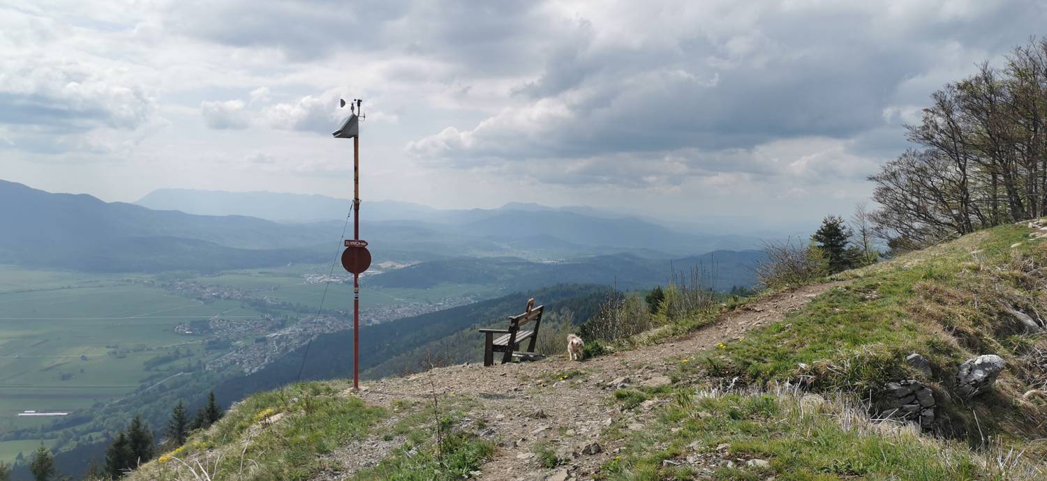
Trail description:From the parking lot, we head back along the road we came from. We walk only as far as the fork, where we turn right and, after a few dozen meters, climb up to another fork. Here, turn left and join a narrower trail, which marks the start of a longer, steeper climb. A few minutes before the end, the trail emerges from the forest, revealing magnificent views of Lake Cerknica and the Cerknica Plain. You’ll also find the “Love Bench” here. Continue walking uphill for a few more minutes toward the antenna that marks the summit.
Additional tips:No additional tips.
![[object Object] - [object Object] main photo](https://api.mountainsgeek.com/media/IMG_20220508_155110_N7SsD3P.jpg)


