



Dom v Iškem Vintgarju - Krim (General)
2 h 15 min




 Weather
 Nearest webcam
| Rating: | |
| Country: | Slovenia |
| Mountain range: | The Goriška, Notranjska, and Snežnik Mountain Ranges |
| Trailhead: | Dom v Iškem Vintgarju (360 m) |
| Destination: | Krim (1107 m) |
| Trailhead latitude/longitude: | 45.9104 / 14.4975 |
| Destination latitude/longitude: | 45.9285 / 14.471 |
| Difficulty: | Easy marked route  |
| Recommended equipment: | Hiking shoes Water |
If you take the motorway towards Ljubljana, stick to the Western Bypass and turn out at the exit for Rudnik. Just after the exit, turn left and stay on the road until the first traffic lights, where you turn left again. Continue driving along the straight, very long road until you reach the roundabout in Iška vas, where you take the first exit. Continue along the road to a larger crossroads, where the signs for Ig - Rakitna will again direct you to the left. A longer drive along the main road will take you to your home in Iška vintgar. A few metres in front of the home, you will see a large parking lot - park here.
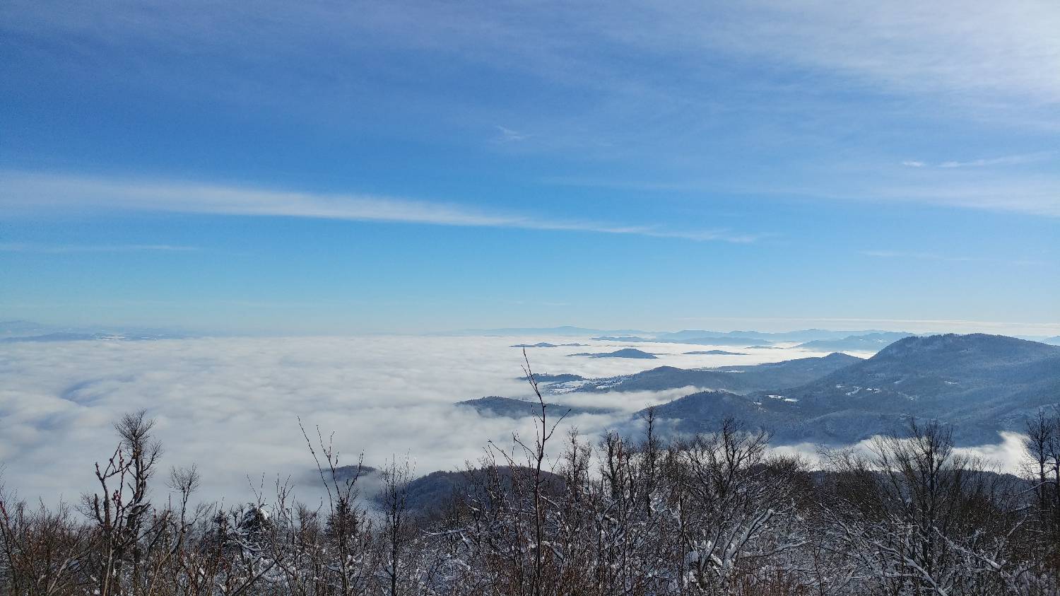
Trail description:Walk past the house, where signs will direct you right up a well-marked forest track. Follow it for about an hour until it joins a dirt road. Here you will see a signpost for Crimea, which will direct you to the right. Continue along the road for a few metres, when you will again see the signpost for Krim, which will direct you sharp left. Follow the path as it branches off, first through the woods, then across the meadow. The path leads us to a signpost for Krim, which shows that we have another hour of walking ahead of us. Turn left here and climb a little. The path leads to a dirt road, which we cross again and continue along the dirt track on the right. The path will take you along the dirt track for some time. Continue until you reach the next signpost, where the forest path turns left. There is a final climb up a fairly steep part of the path. The path leads to the summit, where the hut is located. It offers an exceptional view all the way to the highest peaks.
Additional tips:No additional tips.
![[object Object] - [object Object] main photo](/assets/images/default-no-image.webp)


