



Železna vrata - Trstelj (General)
0 h 35 min




 Weather
 Nearest webcam
| Rating: | |
| Country: | Slovenia |
| Mountain range: | The Goriška, Notranjska, and Snežnik Mountain Ranges |
| Trailhead: | Železna vrata (455 m) |
| Destination: | Trstelj (643 m) |
| Trailhead latitude/longitude: | 45.8635 / 13.7184 |
| Destination latitude/longitude: | 45.858 / 13.7037 |
| Difficulty: | Easy marked route  |
| Recommended equipment: | Hiking poles Hiking shoes Water |
From Ajdovščina, head toward Nova Gorica. From the highway, take the exit for Dornberk, and at the fork just past the exit, turn right. Drive past Batuj into Dornberk, where you’ll join the main road and turn left (toward Koper and Sežana). Soon there will be another fork; turn right toward Potok. Continue along the road for quite some time. When you reach a junction with several roads—which you’ll recognize by the directional signs—you’ll find a suitable spot along the road.
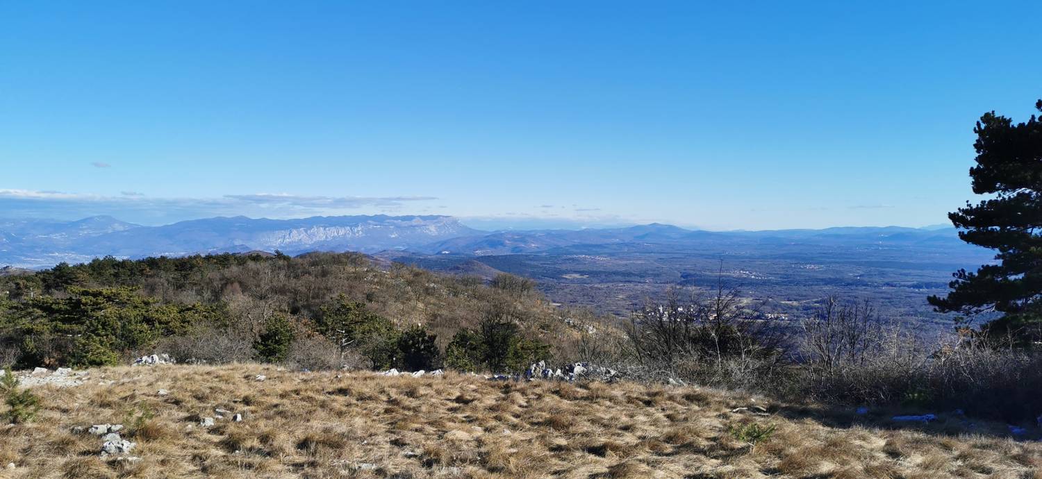
Trail description:We head on foot toward the gravel road, as indicated by the sign. First, we walk along the gravel road until we reach a forest road branching off to the left, where we turn. A longer climb follows along the path that leads through the forest. When we emerge from the forest, we’ll already be able to see the antennas at the summit in the distance. Here, a beautiful view of the high mountains opens up before us. Soon, the trail enters the forest again and forks several times. First, turn left toward the hut, and then right. The trail leads to a gravel road, where you turn right toward the summit (not toward the hut). A short climb follows, and you’ll reach the summit.
Additional tips:No additional tips.
![[object Object] - [object Object] main photo](https://api.mountainsgeek.com/media/IMG_20210530_100904_O2y7wWl.jpg)


