



Planina (Mirna gora) - Dom na Mirni gori (General)
Učna pot
0 h 30 min




 Weather
 Nearest webcam
| Rating: | |
| Country: | Slovenia |
| Mountain range: | The Zasavje-Posavje Hills and the Dolenjska Region |
| Trailhead: | Planina (Mirna gora) (740 m) |
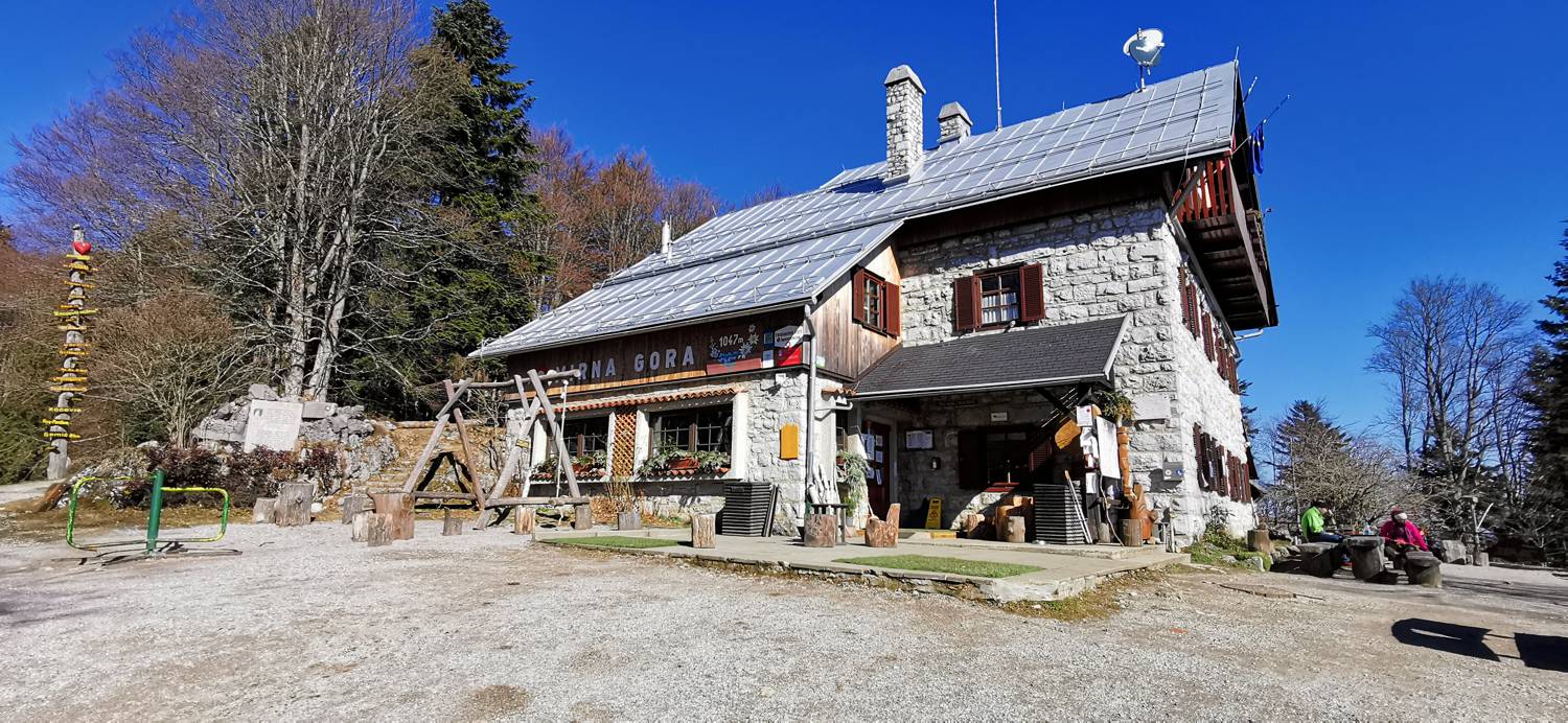
| Destination: | Dom na Mirni gori (1000 m) |
| Trailhead latitude/longitude: | 45.6218 / 15.1076 |
| Destination latitude/longitude: | 45.6295 / 15.1031 |
| Difficulty: | Easy marked route  |
| Recommended equipment: | Hiking poles Hiking shoes Water |
From Ljubljana, head toward Dolenjske Toplice. In the village of Soteska, turn right toward Črnomelj and cross the bridge over the river. We continue to the village of Vrčice, where, in front of the church on the right, we turn right toward Mirna Gora and Planina. The drive to Planina follows, and the road turns into a gravel road along the way.
Trail description:From Planina, a signpost for the nature trail toward Mirna Gora directs us uphill along a forest road. We pass by some houses and turn right into the forest toward Mirna Gora. An ascent along a forest trail follows, during which we’ll be able to observe a cave, various trees, a wildlife feeding station, different plants, and more. Shortly after the feeding station and the musical instrument, the trail crosses a gravel road. When you reach the road for the second time, join it and continue along it to the mountain hut on Mirna Gora.
Additional tips:No additional tips.
![[object Object] - [object Object] main photo](https://api.mountainsgeek.com/media/IMG_20220218_111350_HhNHxkV.jpg)


