



Plužna - Razgledna točka Rajoview (General)
0 h 30 min




 Weather
 Nearest webcam
| Rating: | |
| Country: | Slovenia |
| Mountain range: | Julian Alps |
| Trailhead: | Plužna (452 m) |
| Destination: | Razgledna točka Rajoview (538 m) |
| Trailhead latitude/longitude: | 46.3355 / 13.5129 |
| Destination latitude/longitude: | 46.3316 / 13.5027 |
| Difficulty: | Easy marked route  |
| Recommended equipment: | Hiking poles Hiking shoes |
From Kobarid, we drive toward Bovec. However, we only go as far as the village of Podklopca, where we turn left toward the Bovec Golf Club. We drive through the village and then arrive in the village of Plužna. We drive through the village, turn left down the hill, and park at a suitable spot.
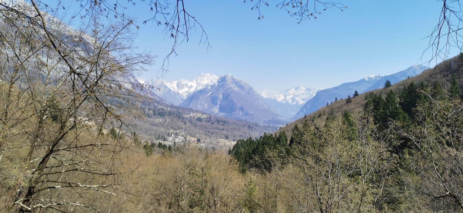
Trail description:From the parking lot, follow the descending road, cross the bridge, and immediately after it, turn right and head up to Srnica Park. Continue toward the spring; just before reaching it, take the left path that leads into the forest. After a short walk through the forest, you’ll reach a fork in the trail; turn right and continue walking through the forest. Along the way, you’ll encounter two fallen trees; the trail runs past them on the right side (the start of the trail is less visible at the second tree). A few minutes before the destination, the trail levels out and begins to descend slightly. The destination is located a few meters before the start of the rocky terrain. On the left side of the trail, the trees thin out, opening up a view. With the help of a rope, you can also climb up to the cave.
Additional tips:No additional tips.


