



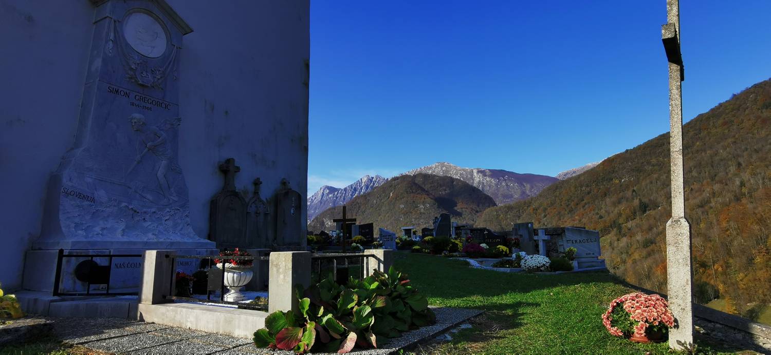
Ladra - Sveti Lovrenc (grob Simona Gregorčiča) (General)
0 h 10 min




 Weather
 Nearest webcam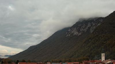
| Rating: | |
| Country: | Slovenia |
| Mountain range: | Julian Alps |
| Trailhead: | Ladra (200 m) |
| Destination: | Sveti Lovrenc (grob Simona Gregorčiča) (260 m) |
| Trailhead latitude/longitude: | 46.2219 / 13.6163 |
| Destination latitude/longitude: | 46.2233 / 13.6171 |
| Difficulty: | Easy marked route  |
| Recommended equipment: | Hiking shoes |
From Tolmin, take the road that passes through the villages toward Kobarid. After passing the village of Kamno, you’ll see a small parking lot on the left side of the road and a sign for Sveti Lovrenc on the right. Park here.
Trail description:Set out on foot along the dirt path, which first leads through a small forest, then across a meadow, and finally joins a wider road, where you turn left. After a few meters, you’ll reach a fork in the road, where you’ll turn left again onto an uphill concrete road that will take you to the church.
Additional tips:No additional tips.


