



Modrej - Bučenica (General)
2 h 0 min




 Weather
 Nearest webcam
| Rating: | |
| Country: | Slovenia |
| Mountain range: | Julian Alps |
| Trailhead: | Modrej (173 m) |
| Destination: | Bučenica (510 m) |
| Trailhead latitude/longitude: | 46.1556 / 13.7476 |
| Destination latitude/longitude: | 46.1694 / 13.7345 |
| Difficulty: | Easy unmarked route  |
| Recommended equipment: | Hiking poles Hiking shoes Water Snack |
From Tolmin, drive toward Most na Soči. Just before you reach the town, you’ll see a bar and a rental shop for kayaks, canoes, and stand-up paddleboards on the right, and a well-maintained parking lot on the left—that’s where you should park.
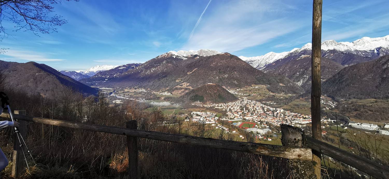
Trail description:Let’s cross the street on foot and, at the bar, turn left onto the path that runs along the lake. Walk along the lake, then climb the stairs and cross the bridge. After the bridge, the road splits; keep to the far right, go down the slope, and continue walking along the road. When we reach the houses, turn left up the slope and climb it until you reach the signpost for Bučenica, which directs you right onto a dirt road; follow this road uphill to another house, on the left side of which we’ll find the path that leads us into the forest. A lengthy ascent follows, leading us to a marked fork in the trail. Take the left path (or you can make a quick stop to visit the lookout point, which is just a 3-minute walk away). The ascent continues for quite some time. When we reach another fork, where a signpost directs us to the left, we stick to the wider path—that is, straight ahead. The path becomes a dirt road, and following it, we reach our destination in a few minutes.
Additional tips:No additional tips.
![[object Object] - [object Object] main photo](https://api.mountainsgeek.com/media/20180401_144126_KxzdJuK.jpg)


