



Rekreacijsko-športni center - Trdnjava Nehaj (General)
0 h 15 min




 Weather
 Nearest webcam
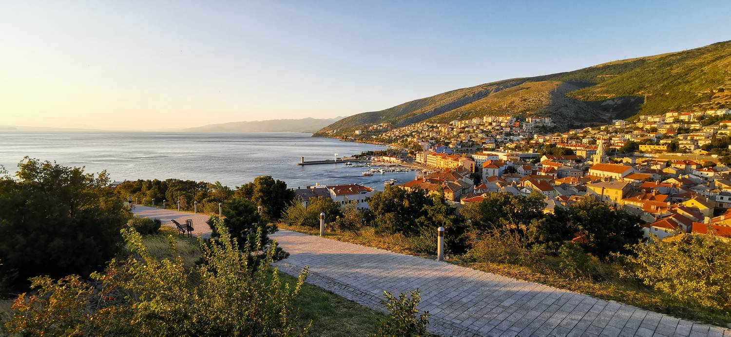
| Rating: | |
| Country: | Croatia |
| Mountain range: | Senj |
| Trailhead: | Rekreacijsko-športni center (40 m) |
| Destination: | Trdnjava Nehaj (55 m) |
| Trailhead latitude/longitude: | 44.9889 / 14.8992 |
| Destination latitude/longitude: | 44.9865 / 14.9035 |
| Difficulty: | Easy unmarked route  |
| Recommended equipment: |
Drive into Senj and turn right at the police station towards the old part of the town. Follow the street, past the large stone gate (entrance to the old part of town), then turn right into a narrow street, which leads you to the recreation and sports centre, where you park in a small car park.
Trail description:Continue on foot uphill, joining the cobbled path that leads to the top of Nehaj, where the fortress is located.
Additional tips:No additional tips.


