



Reka (Laze) - Cerkev Marijinega rojstva v Policah (General)
1 h 0 min




 Weather
 Nearest webcam
| Rating: | |
| Country: | Slovenia |
| Mountain range: | The Škofja Loka and Cerkno Hills and Jelovica |
| Trailhead: | Reka (Laze) (220 m) |
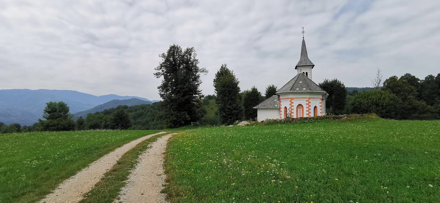
| Destination: | Cerkev Marijinega rojstva v Policah (526 m) |
| Trailhead latitude/longitude: | 46.116 / 13.9129 |
| Destination latitude/longitude: | 46.1236 / 13.9047 |
| Difficulty: | Easy unmarked route  |
| Recommended equipment: | Hiking poles Hiking shoes Water |
From Tolmin, head towards Most na Soči. Turn left here and follow the main road towards the village of Reka. Already before the settlement you will see a sign for the municipality of Cerkno. From here, drive on to a few houses on your left. Just a little further on from here, a macadam road will branch off to the right, which turns down a meadow, and next to it there is a small parking lot where we park.
Trail description:We head back the way we came, walking carefully along the road. At the houses, cross the road and follow the road up past the houses. At the last house, join the track as it climbs up a narrow meadow into the woods. Cross a stream and then start a longer climb. When the terrain flattens out, you reach a small meadow where a small house is set up. Continue past it and join the track which leads up to the village. In the village, at a fork in the tarmac path, turn right and continue along a long straight road until you reach the Church of the Nativity on your right.
Additional tips:No additional tips.


