



Lovska koča Budanje - Kraguljc (General)
1 h 30 min




 Weather
 Nearest webcam
| Rating: | |
| Country: | Slovenia |
| Mountain range: | The Goriška, Notranjska, and Snežnik Mountain Ranges |
| Trailhead: | Lovska koča Budanje (420 m) |
| Destination: | Kraguljc (897 m) |
| Trailhead latitude/longitude: | 45.8793 / 13.9589 |
| Destination latitude/longitude: | 45.8909 / 13.9498 |
| Difficulty: | Easy marked route  |
| Recommended equipment: | Hiking poles Hiking shoes Water |
From Ljubljana, head toward the coast. Take the Logatec exit off the highway and continue on the regional road. Drive to the village of Col and continue a little further, keeping an eye out for the sign for the hunting lodge on your left, just a few meters past the sign for Kovk on your right. Park in the parking lot, which is located on both sides of the road.
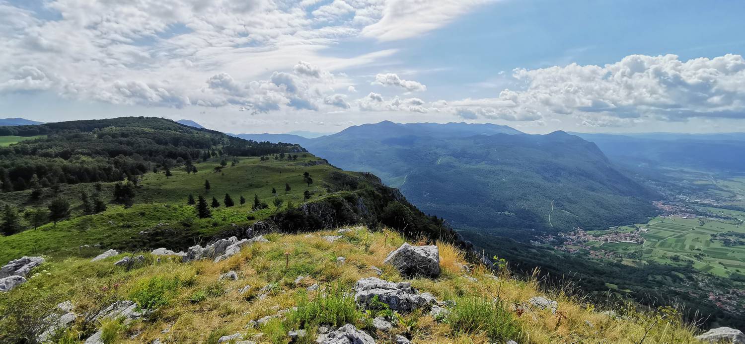
Trail description:On foot, we head toward the trail indicated by the signpost for Kovk. The trail leads into the forest and begins to climb. A lengthy ascent follows, which is quite steep in many sections. Shortly before emerging from the forest, we’ll pass the “wishing bell” along the way. When the trail leads out of the forest, we arrive at a spot with a guestbook, a cross, a thermometer, and a bench. We continue the ascent for a few more meters, then reach a fork in the trail. Turn left and walk to the takeoff point, which is only a few dozen meters away. From here, the trail leads through pasture meadows, offering wonderful views along the way, until you reach the summit of Kraguljec.
Additional tips:No additional tips.


