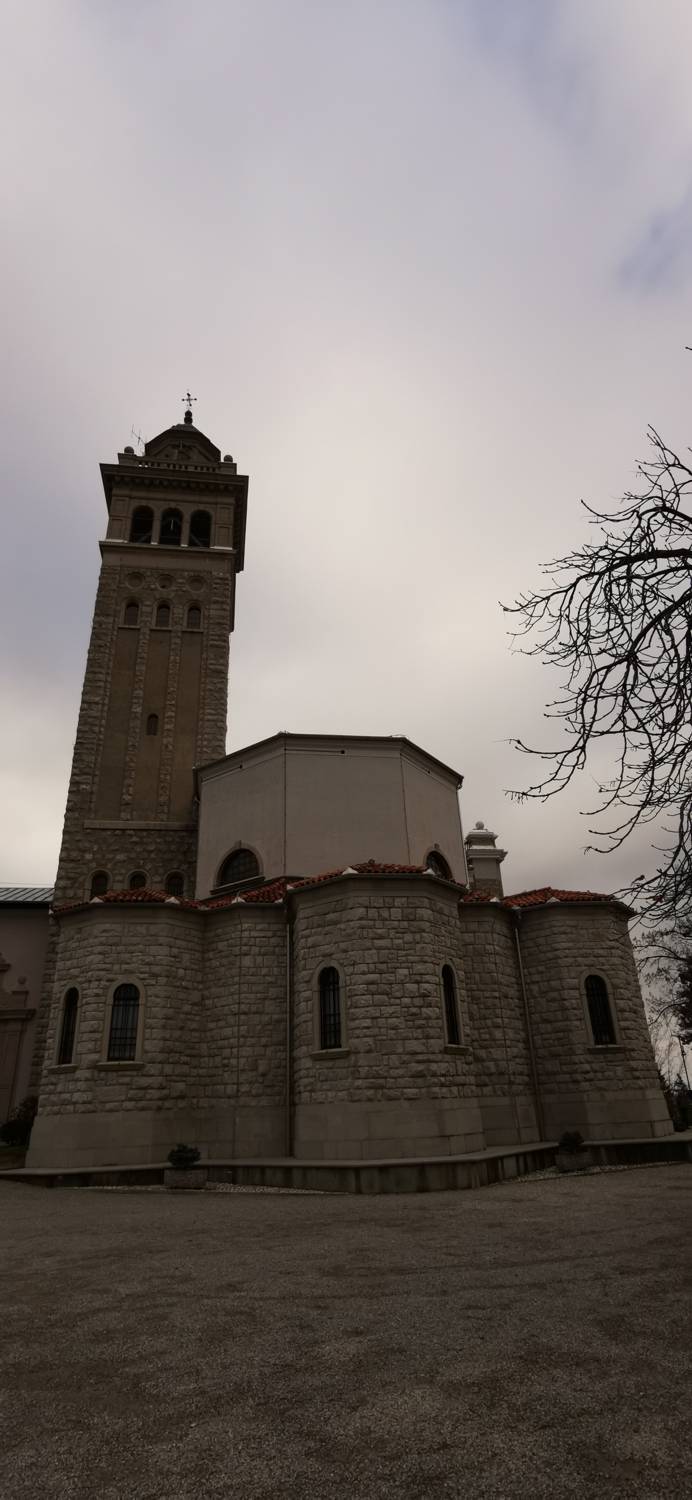
Grgar - Sveta gora (General)
- Hiking time1 h 15 min
- Difficulty: Easy marked route
- Destination:681 m
- Elevation difference+395 m

Getting to the trailhead:
From Tolmin, head toward Nova Gorica. Shortly after Most na Soči, a road will branch off to the right toward Postaja (also the train station), where you’ll turn. Stay on the right-hand road, drive under the bridge with the railroad tracks above, and continue along the road for quite some time, past Čepovan, toward Breg, where you’ll turn right and drive to Grgar. Here, we park in the large parking lot next to the playground.
Trail description:
From the parking lot, we continue along the road all the way to the monument, where we cross the road and turn onto the road on the right. From there, we continue to the junction where a narrower path branches off to the left, and we turn onto it. Before the first house, a signpost for Sv. Gora will direct us to the left, leading us past meadows and gardens and bringing us to another fork, where we’ll turn left again. The trail will lead us into the forest, where it will fork again. Take the left path, cross the stream, and begin the ascent. The ascent makes up the bulk of the route; along the way, you’ll pass through a cleared area intended for an electrical cable and walk past old military bunkers. In the final section, the forest becomes increasingly sparse, and the trail joins a wider stone path that leads left toward Frančiškov Hill; however, we’ll take the right fork and reach our destination in a few minutes.
Additional tips:
No additional tips.
Related trails

Sveta gora - Vodice

Grgar - Sveta gora
Po Ranjekah