



Drežnica - Krn (General)
5 h 0 min




 Weather
 Nearest webcam
| Rating: | |
| Country: | Slovenia |
| Mountain range: | Julian Alps |
| Trailhead: | Drežnica (541 m) |
| Destination: | Krn (2244 m) |
| Trailhead latitude/longitude: | 46.2555 / 13.6168 |
| Destination latitude/longitude: | 46.2662 / 13.6589 |
| Difficulty: | Easy marked route  |
| Recommended equipment: | Hiking poles Hiking shoes Water Snack |
From Tolmin, head toward Kobarid. Here, just past the gas station, turn right toward Vrsno, Bovec, and Drežnica. Immediately after that, you’ll come to a fork in the road, where you’ll turn right again. Continue along the road, cross the Napoleon Bridge over the Soča River, then turn left and continue along the road all the way to Drežnica, where you’ll park near the playground.
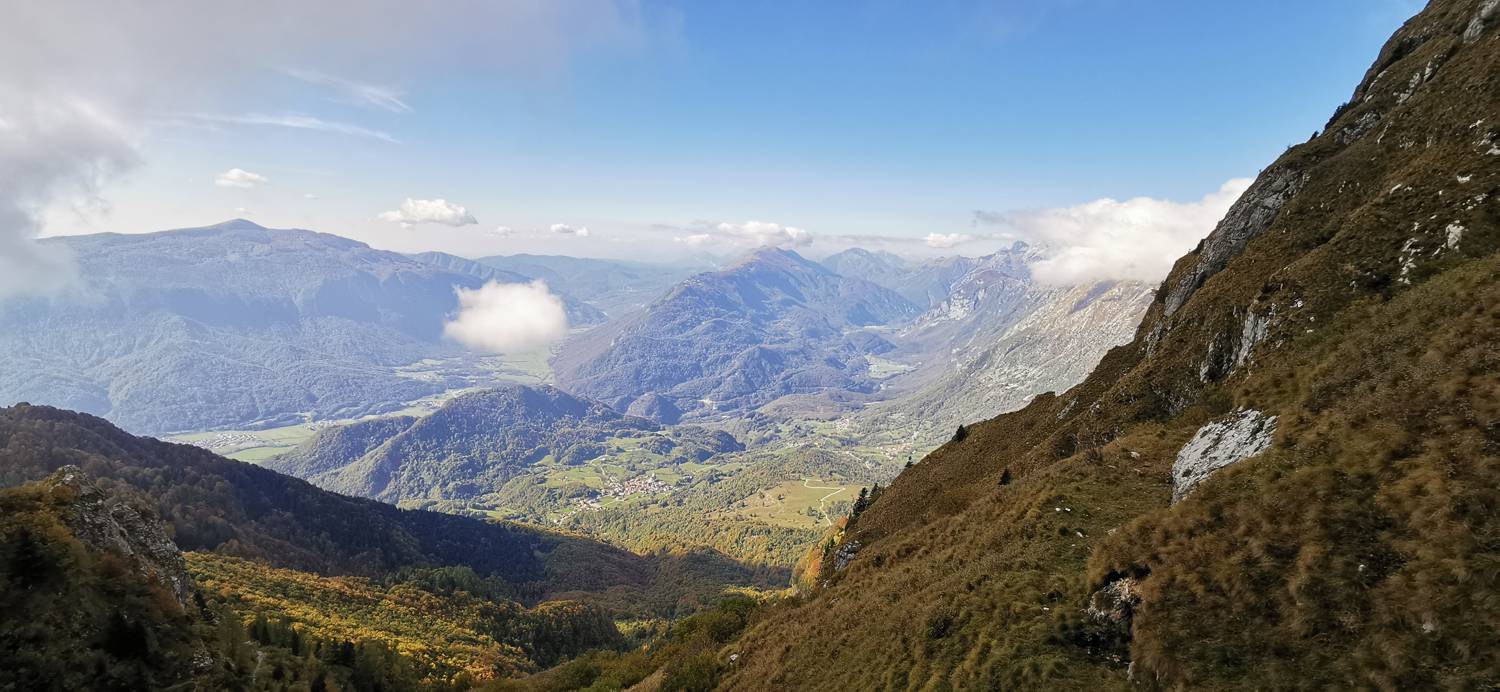
Trail description:From the parking lot, we continue along the road toward the chapel. There’s a fork in the road here; we take the middle path, which quickly turns into a dirt track and leads into the forest. The trail begins to climb moderately through the woods. Shortly after passing a weekend cottage on the right, you’ll reach another fork. Continue straight ahead; this path immediately splits again, and here you should take the left fork (toward Krn). The ascent continues to extensive pasture meadows, which we cross along a mostly flat path, then re-enter the forest. Another moderate ascent follows, all the way to the large sign for the Triglav National Park (TNP). Here, we join a gravel road and continue along it for a while until we reach several directional signs, where we turn right—still heading toward Krn. Another ascent along the trail follows, during which we must also cross the gravel road. This time, the ascent becomes steeper and lasts longer. Along the way, we pass a hunting cabin on the right. In the final stretch before reaching the Krn Plateau, the trail transitions from dense forest to sparse woodland and later to grassy areas, eventually reaching the Krn Plateau. Here, we turn left toward Krn. A longer uphill hike follows. The winding, ascending trail continues all the way to the mountain hut just below the summit. At the shelter, there is a guestbook and a stamp for the Slovenian Mountain Trails. It’s still a 10-minute walk to the very summit of Krn. We continue past the outdoor tables and benches and turn left. We climb up a winding, steep path lined with rocks, which soon leads us to the summit. Here, magnificent views open up in every direction.
Additional tips:No additional tips.
![[object Object] - [object Object] main photo](https://api.mountainsgeek.com/media/20181225_111759.jpg)


