



Postaja (Most na Soči) - Razgledna točka Široko (General)
1 h 25 min




 Weather
 Nearest webcam
| Rating: | |
| Country: | Slovenia |
| Mountain range: | The Goriška, Notranjska, and Snežnik Mountain Ranges |
| Trailhead: | Postaja (Most na Soči) (175 m) |
| Destination: | Razgledna točka Široko (755 m) |
| Trailhead latitude/longitude: | 46.1469 / 13.7579 |
| Destination latitude/longitude: | 46.1321 / 13.7593 |
| Difficulty: | Easy marked route  |
| Recommended equipment: | Hiking poles Hiking shoes Water |
From Tolmin, head toward Most na Soči; there, turn left and continue until the road branches off to the right toward the train station (Lokve, Čepovan, Postaja), where you turn. When we reach the village of Postaja, we stay on the right-hand road, which leads under a short tunnel through which the railroad runs and takes us to the right side of the railroad tracks, where there is also a parking lot where we park.
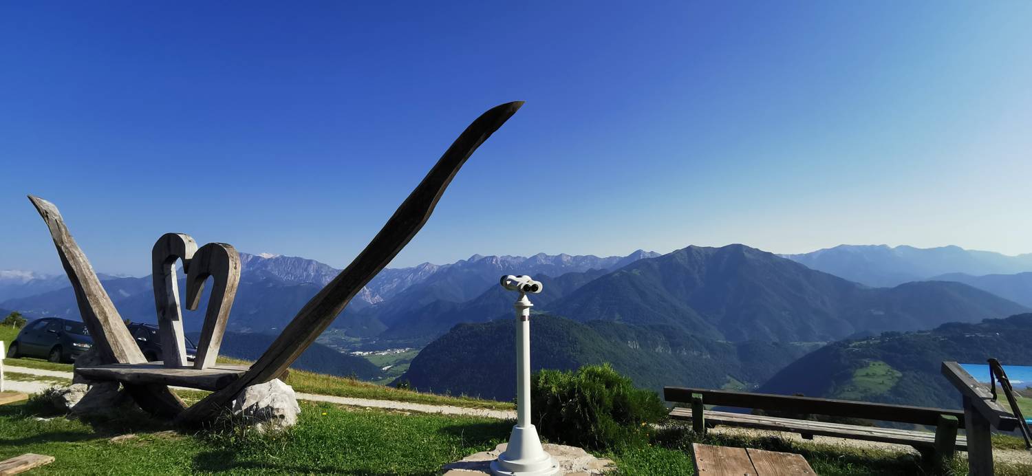
Trail description:On foot, we head toward the trail, which is also indicated by a signpost for Široko. This is followed by a long walk along an ascending road, which is gravel in some sections and concrete in others. When we reach a few houses, we continue the path behind them, where it turns into a cart track. When we reach a row of trees along the path, the trail soon forks. Turn right and follow the path, which leads through pastures, uphill toward the Široko farm. Once you reach the houses, it’s just a few hundred meters’ walk toward the farm, where the lookout point is located.
Additional tips:No additional tips.


