



Oblakov vrh - Hudournik (General)
1 h 30 min




 Weather
 Nearest webcam
| Rating: | |
| Country: | Slovenia |
| Mountain range: | The Škofja Loka and Cerkno Hills and Jelovica |
| Trailhead: | Oblakov vrh (721 m) |
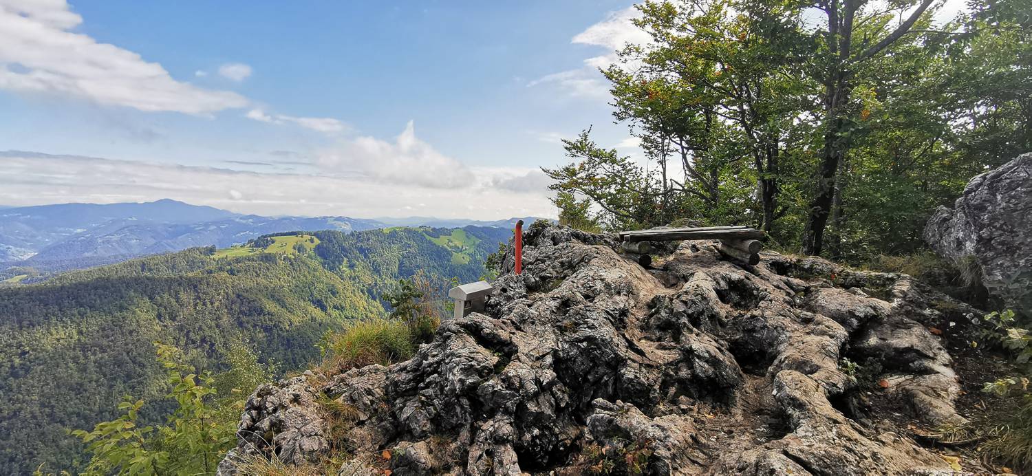
| Destination: | Hudournik (1148 m) |
| Trailhead latitude/longitude: | 46.0621 / 13.89 |
| Destination latitude/longitude: | 46.0592 / 13.8788 |
| Difficulty: | Easy marked route  |
| Recommended equipment: | Hiking poles Hiking shoes Water |
From Tolmin, head toward Most na Soči. Here, turn left and drive to the right turnoff toward Dolenja Trebuša (signs for Vojsko, Čepovan), where you turn off and cross the bridge. Continue along the main road all the way to the Oblakov vrh Pass, where you’ll park in the parking lot by the road.
Trail description:We join the gravel road on foot just a short distance from the parking lot. The road immediately enters the forest. A longer walk along this road follows, which climbs moderately. When you emerge from the forest, meadows open up along the path, and you’ll also reach a fork in the road. Take the left path, which leads back into the forest. Once again, you’ll walk along a moderately ascending road all the way to an older house; just a few meters before it, there’s a small path branching off to the left, which you’ll take. An ascent follows—first through a small forest, then across a meadow—after which we’ll reach our destination.
Additional tips:No additional tips.


