



Kolarica - Koča na Travniku (General)
0 h 40 min




 Weather
 Nearest webcam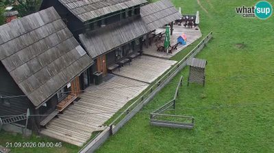
| Rating: | |
| Country: | Slovenia |
| Mountain range: | Kamnik-Savinja Alps |
| Trailhead: | Kolarica (1350 m) |
| Destination: | Koča na Travniku (1548 m) |
| Trailhead latitude/longitude: | 46.4111 / 14.812 |
| Destination latitude/longitude: | 46.4159 / 14.8076 |
| Difficulty: | Easy marked route  |
| Recommended equipment: | Hiking poles Hiking shoes Water |
From Velenje, head toward Ljubno ob Savinji. Here, cross the Savinja River and, at the fork just before the small Mercator store, turn right (signs for the elementary school, health center, etc.). Continue along the main road, passing the Pri Petrinu restaurant on the right; shortly after that, the road will fork, and we’ll take the left fork. The road continues uphill. The climb will take some time, until the road begins to descend; there will be a parking area there, as well as directional signs. We’ll park here.
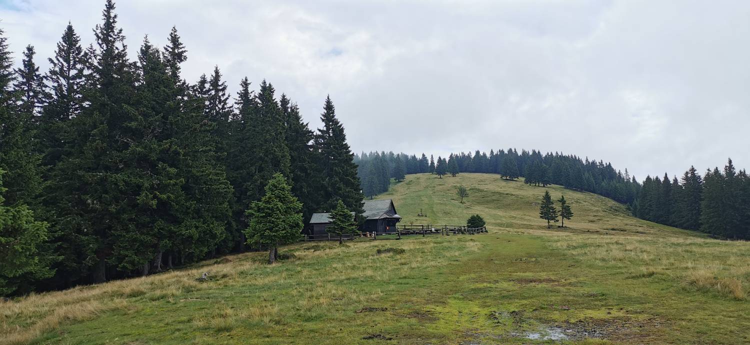
Trail description:We set off on foot along an ascending dirt road, which a sign also directs us toward. A moderate climb through the forest follows, during which the trail splits once—stay on the main, right-hand path. Once we emerge from the forest, we’ll walk for a few minutes along a path that leads across pasturelands, after which we’ll reach our destination.
Additional tips:No additional tips.


