



Reka - Cerkev Svetega Ivana nad Divjimi babami (General)
1 h 0 min




 Weather
 Nearest webcam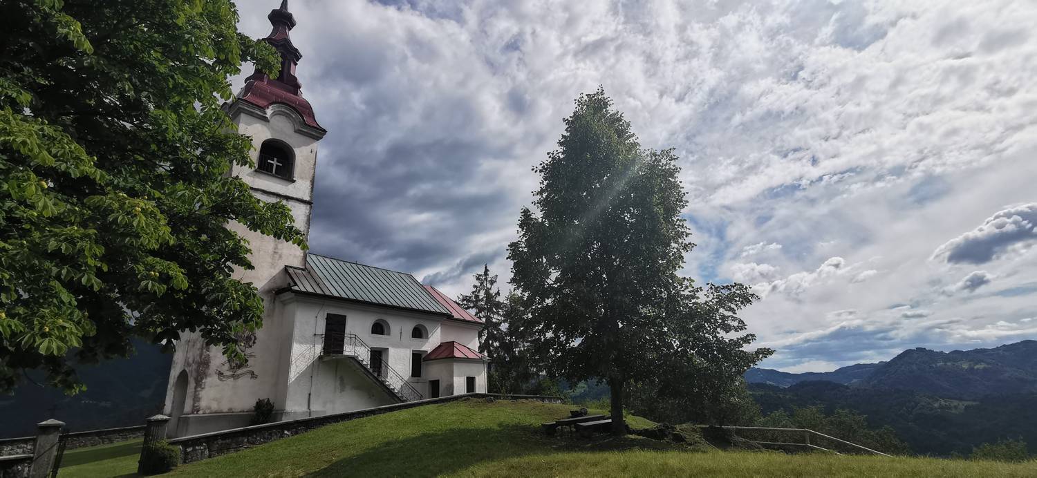
| Rating: | |
| Country: | Slovenia |
| Mountain range: | The Škofja Loka and Cerkno Hills and Jelovica |
| Trailhead: | Reka (253 m) |
| Destination: | Cerkev Svetega Ivana nad Divjimi babami (573 m) |
| Trailhead latitude/longitude: | 46.1175 / 13.9213 |
| Destination latitude/longitude: | 46.1102 / 13.9175 |
| Difficulty: | Easy marked route  |
| Recommended equipment: | Hiking shoes Water |
From Tolmin, head toward Most na Soči. Here, turn left and follow the main road toward the village of Reka. Shortly after the turn toward Kojca, a road branching off to the right will cross the bridge; take that road. Shortly after crossing the bridge, you’ll see a parking lot on the right where you can park.
Trail description:We set off on foot along the road and past the last house. Behind the house, we turn left onto a path that climbs up through a meadow and leads into the forest. A longer climb along the forest trail follows. When we reach a fork, we turn right toward Šebrelje and continue along a slightly gentler path, which leads us to an area secured by a steel cable fence. Past this junction, you’ll reach a road where you turn right. From there, it’s just a few more minutes’ walk to the church.
Additional tips:No additional tips.
![[object Object] - [object Object] main photo](https://api.mountainsgeek.com/media/IMG_20200718_100118_Jj1vb0P.jpg)


