

Plave - Prižnica (General)
0 h 45 min




 Weather
 Nearest webcam

| Rating: | |
| Country: | Slovenia |
| Mountain range: | The Goriška, Notranjska, and Snežnik Mountain Ranges |
| Trailhead: | Plave (85 m) |
| Destination: | Prižnica (383 m) |
| Trailhead latitude/longitude: | 46.0412 / 13.5912 |
| Destination latitude/longitude: | 46.044 / 13.5993 |
| Difficulty: | Easy unmarked route  |
| Recommended equipment: | Hiking shoes Water |
From Tolmin, head toward Nova Gorica. Drive to the village of Plave, where you’ll turn left toward Paljevo. The road climbs, with one left turn; a little further on, before the second curve, you’ll see a parking spot, a bench, and an information board on your left—this is where we park.
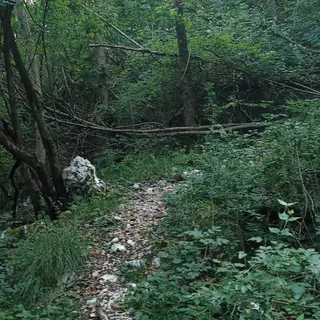
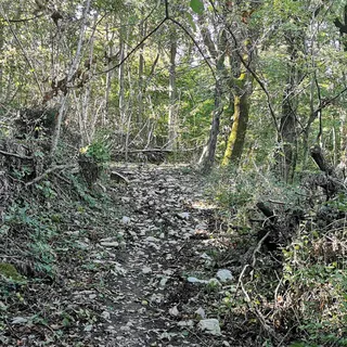
Trail description:We set off on foot along the trail, which immediately turns into the forest. A moderate climb follows along a cart track, from which a narrow path branches off to the right (we’ll recognize the turnoff by a stone wall)—we turn here. The trail continues uphill; along the way, a path will branch off to the right leading toward military ruins, but we’ll stick to the left, ascending path, which takes us all the way to our destination. Shortly before reaching the destination, the trail levels off.
Additional tips:No additional tips.