



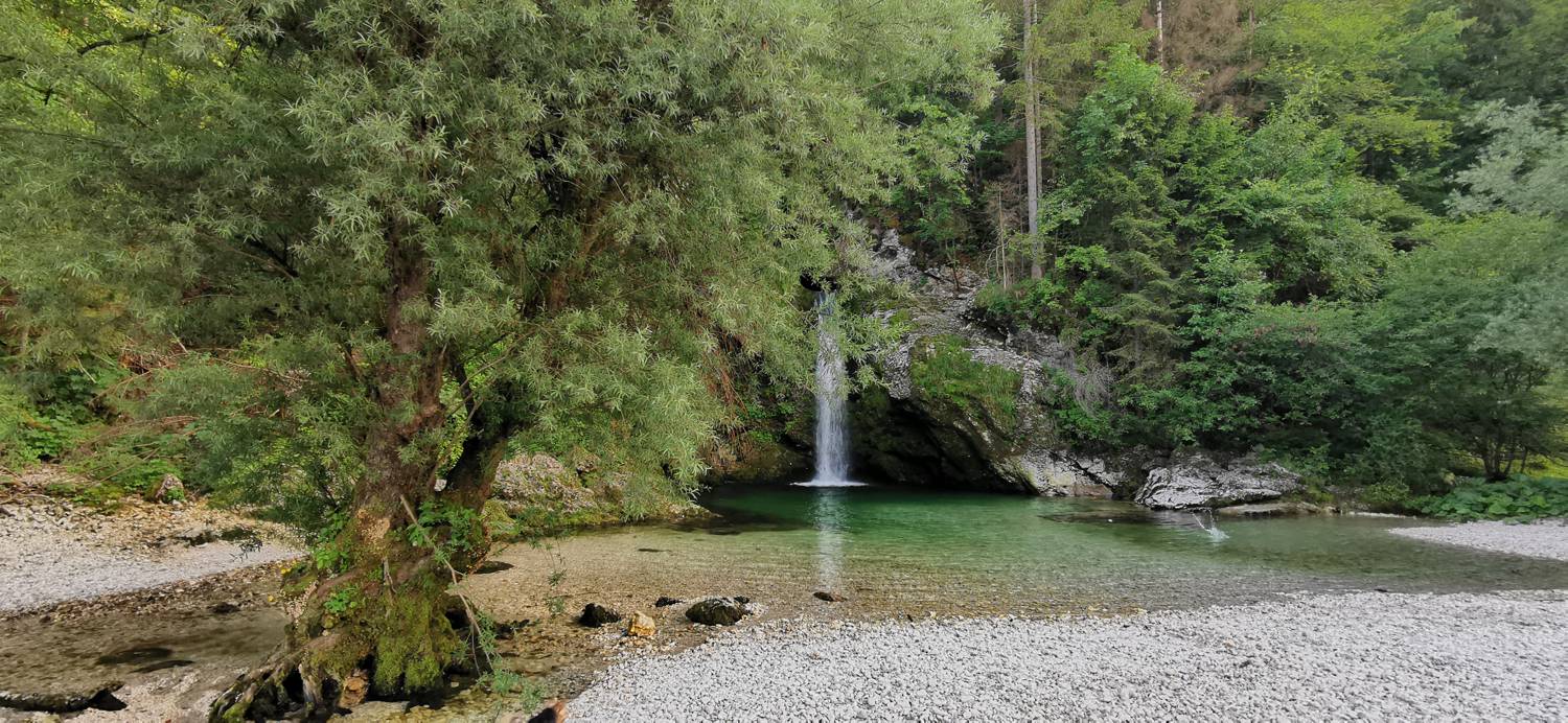
Log v Bohinju - Slap Grmečica (General)
0 h 35 min




 Weather
 Nearest webcam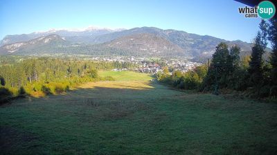
| Rating: | |
| Country: | Slovenia |
| Mountain range: | The Škofja Loka and Cerkno Hills and Jelovica |
| Trailhead: | Log v Bohinju (500 m) |
| Destination: | Slap Grmečica (510 m) |
| Trailhead latitude/longitude: | 46.2875 / 13.9799 |
| Destination latitude/longitude: | 46.285 / 13.9967 |
| Difficulty: | Easy marked route  |
| Recommended equipment: | Hiking shoes |
From Bohinjska Bistrica, we head toward Bled. Drive to the village of Log v Bohinju, where you’ll turn right past the bus station. Follow the road that crosses the railroad tracks (an unguarded crossing) and park in the parking lot along the road.
Trail description:We walk across the bridge, and immediately afterward turn left onto a gravel road. We walk along gentle terrain, and at one point we come close to a stream. Further on, we enter some pastureland, through which we walk to the waterfall.
Additional tips:No additional tips.


