



Parkirišče pri mostu Boka - Slap Boka (General)
1 h 15 min




 Weather
 Nearest webcam
| Rating: | |
| Country: | Slovenia |
| Mountain range: | Julian Alps |
| Trailhead: | Parkirišče pri mostu Boka (400 m) |
| Destination: | Slap Boka (680 m) |
| Trailhead latitude/longitude: | 46.3183 / 13.4946 |
| Destination latitude/longitude: | 46.3226 / 13.4814 |
| Difficulty: | Difficult unmarked route  |
| Recommended equipment: | Hiking poles Hiking shoes Water |
From Tolmin, head toward Bovec. Shortly after passing the village of Log Čezsoški, you’ll cross the large Boka Bridge; immediately after that, there will be a small parking lot on the right side of the road, where you can park.
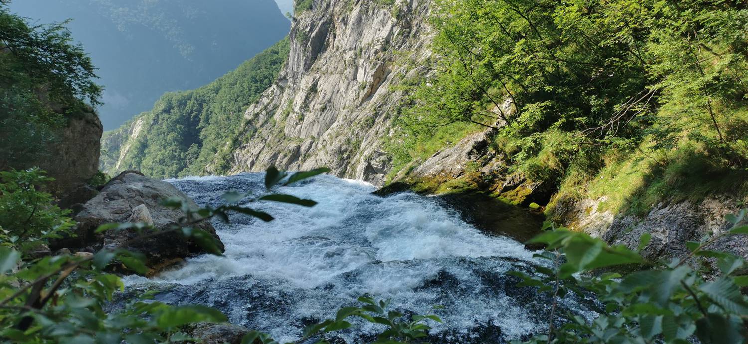
Trail description:Carefully cross the main road on foot and join the forest trail located just before the start of the Boka Bridge. Stay on the left-hand trail, which soon begins to climb. The ascent is steep for most of the way and includes dangerous, precipitous sections (some of which are secured with steel cables). Once you reach the highest point of the trail, it begins to descend steeply. This section of the trail is also dangerous and is secured with steel cables in some areas. The trail continues like this all the way to the destination.
Additional tips:No additional tips.


