



Parkirišče pred Podbrdom - Driselpoh (General)
0 h 30 min




 Weather
 Nearest webcam
| Rating: | |
| Country: | Slovenia |
| Mountain range: | Julian Alps |
| Trailhead: | Parkirišče pred Podbrdom (452 m) |
| Destination: | Driselpoh (515 m) |
| Trailhead latitude/longitude: | 46.1989 / 13.9441 |
| Destination latitude/longitude: | 46.2004 / 13.9425 |
| Difficulty: | Easy marked route  |
| Recommended equipment: | Hiking shoes |
From Tolmin, head toward Most na Soči. Here, turn left and drive to Bača pri Modreju, where you’ll turn left toward Podbrdo. A longer drive along the main road follows. A short distance past the village of Hudajužna, you’ll see a parking area on the right side of the road, and just a few meters further on, on the left side of the road, there’s a left turn. Park in this parking lot.
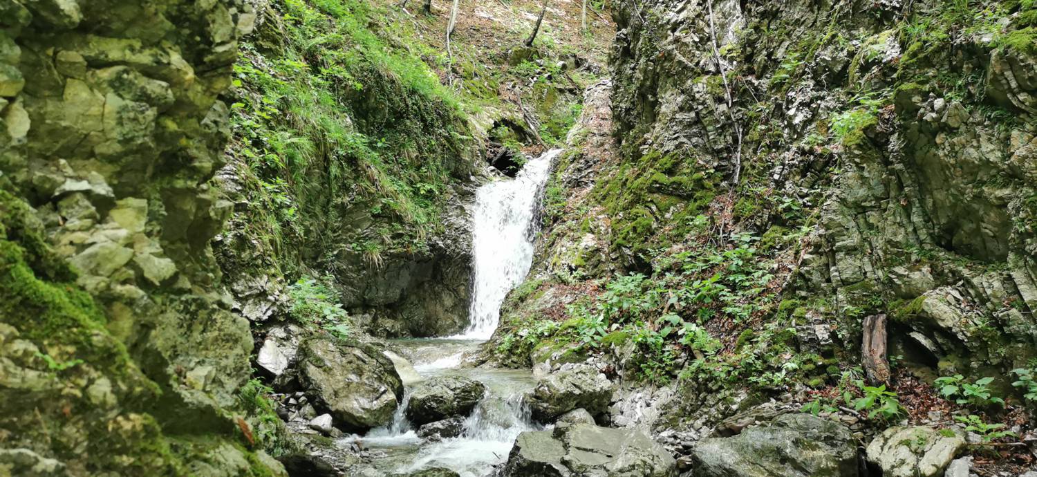
Trail description:We set off on foot toward the turnoff. The first part of the route requires extreme caution, as we’re walking alongside the main road, which we’ll also need to cross. Once we join the gravel road on the left, we continue along the path past gorges and small waterfalls to the Driselpoh farmstead. From here, we continue along the cart track, which leads us to a fork in the path in a meadow. Turn right toward the waterfall and walk along the trail for a few more minutes, after which you’ll reach your destination.
Additional tips:No additional tips.


