



Drežniške Ravne - Slap Curk (General)
0 h 45 min




 Weather
 Nearest webcam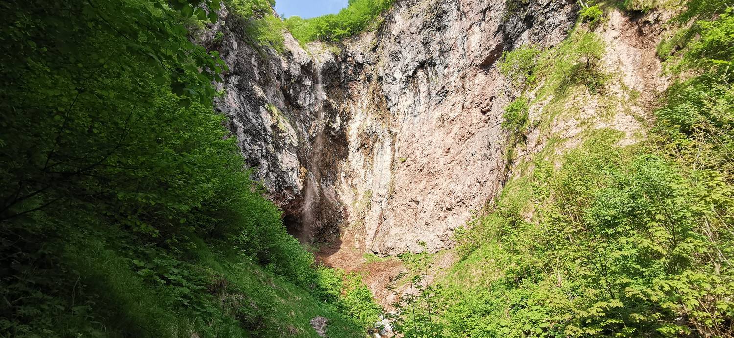
| Rating: | |
| Country: | Slovenia |
| Mountain range: | Julian Alps |
| Trailhead: | Drežniške Ravne (820 m) |
| Destination: | Slap Curk (1110 m) |
| Trailhead latitude/longitude: | 46.2729 / 13.6149 |
| Destination latitude/longitude: | 46.2719 / 13.6369 |
| Difficulty: | Difficult marked route  |
| Recommended equipment: | Hiking shoes Water |
Coming from Tolmin, head toward Kobarid. In Kobarid, just a few dozen meters past the Petrol gas station, turn right toward Vrsno / Bovec / Drežnica. Continue driving to the first intersection, where you turn left and then immediately left again (to stay on Gregorčičeva Street). Continue to Napoleon’s Bridge, cross it, and then turn left immediately afterward. The road then becomes slightly more winding at first, but eventually straightens out and leads through Drežnica toward the Drežnica Plains. In the village, at the intersection, turn right toward Krasji Vrh and then right again. Continue driving until you reach a large water trough, which you’ll see right next to the road. Next to it is a large parking lot where you can park.
Trail description:From the parking lot, continue along the gravel road and, at the signposts, turn right onto a grassy path. Immediately after the turn, turn left onto a less visible trail that leads through the meadow into the forest. An ascent along the forest path follows, leading you to a fork in the trail after a long walk. Take the left path, which is also indicated by a signpost for the waterfall. After a few dozen meters, the path leads you out of the forest onto grassy areas. Continue along the path, which soon brings you to a fork in the trail. Here, turn right onto a cart track and continue along it. The terrain here is mostly flat. When the path leads from the meadows into a small grove, it splits. We continue along the left path toward the waterfall. From here, we cross just one more small meadow, then enter the forest. A more challenging section of the trail follows, secured with steel cables. This part of the trail is a descent. Once this section is over, we reach our destination.
Additional tips:No additional tips.


