



Tacen - Grmada (General)
Mazijeva steza
- Hiking time1 h 10 min
- Difficulty: Easy marked route
- Destination:676 m
- Elevation difference+366 m
Getting to the trailhead:
Take the motorway towards Kranj. When you come out of the tunnel, immediately turn right at the exit for Brod. When you reach the fork in the road, turn right again and drive straight ahead. You will pass a traffic lighted junction, downhill, past the Mercator on your right, and after a few hundred metres you will pass the Spar on your left. Shortly after Spar, turn left at the fork. You will immediately see a car park on your right, where you should park.
Trail description:
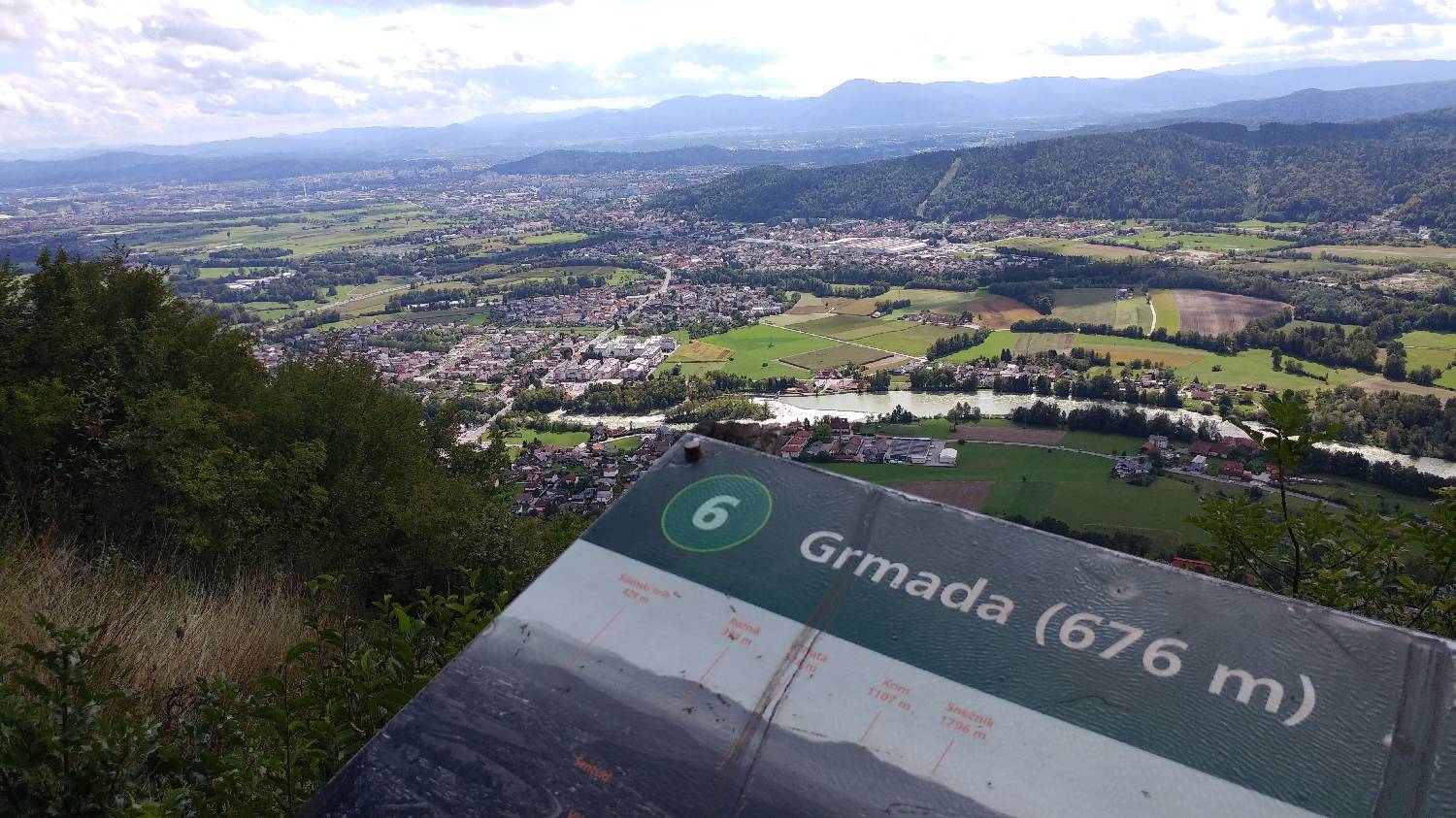
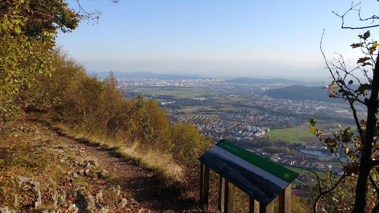
From here, walk to the right along the pavement. At the first possible street, turn right, walk along the road for a few dozen metres until you see a restaurant on your left. Just after the restaurant, turn left onto a narrow lane surrounded by greenery. At the end of the lane, you will find a number of paths, all leading to Grmada. Here Grmada offers you a choice of routes. Whichever path you choose, they will soon all merge into the Freedom Trail. We chose the narrow, rocky path, the first one on the left, just after the stepped path that also leads to Šmarna Gora. From here you have 1h and 10min to the top. The path is initially gentle. Follow it all the way to a fork where one path leads sharply to the left and the other to the right. Take the right - this is where the path starts to climb. You will be walking on pleasant terrain, with rocks and tree roots all along the way to add a bit of variety. As you walk, don't forget to enjoy the nature of the mixed forest that follows you all the way to the top. At the forks, signposts will direct you first to the Freedom Trail, then along the Mazi Trail and finally along the Wester Trail. Don't worry, even if it sounds a bit complicated, you won't miss it. After rising to 676 m above sea level, you will see a bare summit with a magnificent view of Ljubljana. There is also a wooden bench at the top where you can rest and a board with an environmental map. Once you've rested and seen Ljubljana from above, all you have to do is walk down.
Additional tips:
- in wet weather the path can be a bit dangerous due to slippery rocks and mud
Related trails

Tacen - Grmada
Čez Spodnjo kuhinjo
Vikrče - Grmada
Pogačnikova pot


