



Lig - Marijino Celje (General)
0 h 10 min




 Weather
 Nearest webcam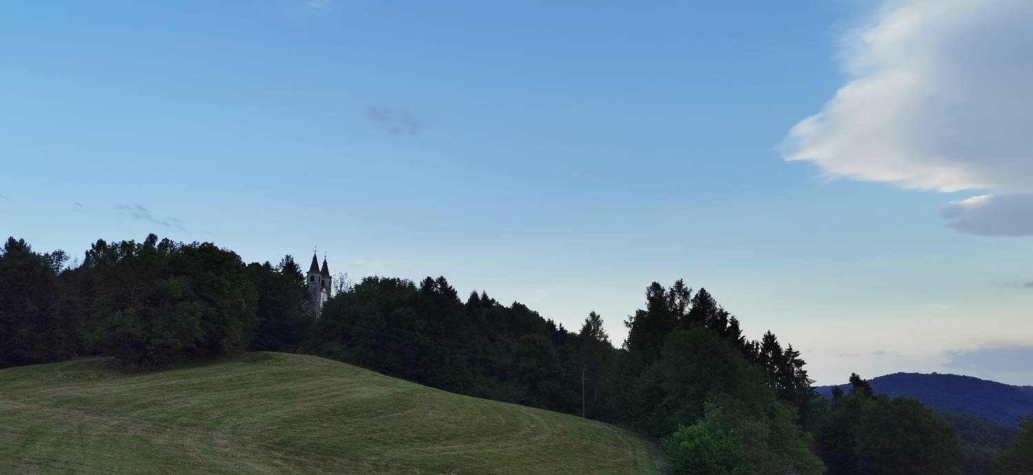
| Rating: | |
| Country: | Slovenia |
| Mountain range: | The Goriška, Notranjska, and Snežnik Mountain Ranges |
| Trailhead: | Lig (620 m) |
| Destination: | Marijino Celje (675 m) |
| Trailhead latitude/longitude: | 46.0955 / 13.6101 |
| Destination latitude/longitude: | 46.0941 / 13.6123 |
| Difficulty: | Easy marked route  |
| Recommended equipment: |
From Tolmin, head toward Nova Gorica. Continue to Kanal ob Soči, where—just before the bridge over the Soča River on the left—turn right into the tunnel. Immediately after the tunnel, turn right again and continue up the winding road to Liga. Park in the parking lot, which you’ll recognize by the automated external defibrillator.
Trail description:We continue on foot along the ascending road, following the direction of the signpost. When the road levels out, we turn right onto a grassy path, which we follow uphill to the church.
Additional tips:No additional tips.


