



Grgarske Ravne - Sveti Lovrenc (nad Grgarskimi Ravnami) (General)
1 h 0 min




 Weather
 Nearest webcam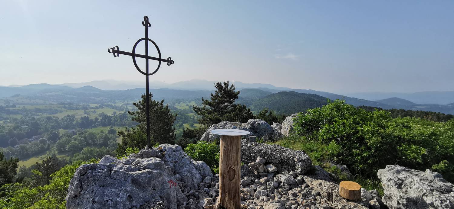
| Rating: | |
| Country: | Slovenia |
| Mountain range: | The Goriška, Notranjska, and Snežnik Mountain Ranges |
| Trailhead: | Grgarske Ravne (530 m) |
| Destination: | Sveti Lovrenc (nad Grgarskimi Ravnami) (799 m) |
| Trailhead latitude/longitude: | 46.032 / 13.6682 |
| Destination latitude/longitude: | 46.036 / 13.6832 |
| Difficulty: | Easy marked route  |
| Recommended equipment: | Hiking shoes Water |
From Tolmin, head toward Nova Gorica. After passing Kanal ob Soči, turn left toward Morsko and continue along the ascending road, past Kanalski Vrh. A short distance past the village, we’ll reach a fork in the road, where we’ll turn right and continue on to Grgarske Raven. We’ll park in a suitable spot in front of the Herbal Center.
Trail description:We continue on foot into the village, toward Sveti Lovrenc, where a signpost also directs us. In the village, we climb a path that turns into a cart track at the top of the village. We continue along the cart track into the forest. Soon the path forks; we take the left, gently ascending cart track, which eventually becomes a narrow path. The path continues through the forest for a while, then crosses a small clearing. Beyond the clearing, it leads back into the forest, where it soon splits again. We turn left and follow the path uphill to the summit.
Additional tips:No additional tips.
![[object Object] - [object Object] main photo](https://api.mountainsgeek.com/media/IMG_20220427_114148.jpg)


