



Okrepčevalnica Tolminska korita - Kobilnik (General)
1 h 30 min




 Weather
 Nearest webcam
| Rating: | |
| Country: | Slovenia |
| Mountain range: | Julian Alps |
| Trailhead: | Okrepčevalnica Tolminska korita (219 m) |
| Destination: | Kobilnik (693 m) |
| Trailhead latitude/longitude: | 46.1974 / 13.7393 |
| Destination latitude/longitude: | 46.2059 / 13.7479 |
| Difficulty: | Easy marked route  |
| Recommended equipment: |
Drive to Tolmin and turn right at the main traffic lights towards Zatolmin (from Škofja Loka turn right, from Nova Gorica turn left). When you get to Zatolmin, follow the main road and the direction to Čadrg and Tolminska korita. Follow the road all the way to the Tolminska korita restaurant, which will be on the right side of the road. On your left you will see a large car park, where you should park.
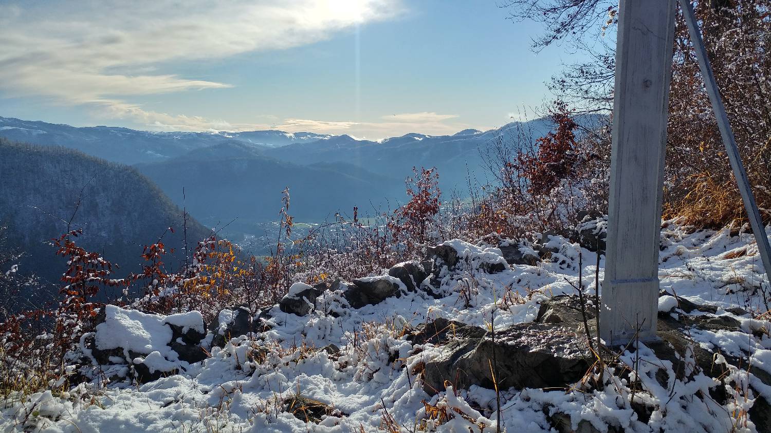
Trail description:Continue on foot along the road, then cross the 60m high Devil's Bridge. The view from the bridge is divine, with the Tolminka River flowing below. The path then climbs. Follow it to Dante's Cave. Here, climb the stairs almost to the cave entrance, and just before the entrance, turn left onto a narrow path (signposted with a cup and a time of 20min). The path will lead you to a chapel, here continue straight ahead. Continue walking until you reach an asphalted road, which you cross and continue walking just a few metres further along the road to the left, again passing the chapel on a woodland path (signposted with a cup and time 10 min). The path will lead you to a meadow, where you will cross a green iron gate and soon arrive at the Pr' Jakču summer garden. You continue behind the garden on the tarmac road, but only long enough to go around the garden. Immediately afterwards, you will notice on the right-hand side of the road, a lane which turns into a meadow. Follow it and it will soon lead you into the woods. Here the track turns once, and a signpost with a cross warns you of this. The forest track will lead you to the top of Kobilnik. You will be able to turn off twice more, again warned by a signpost with a cross. At the top, you will find a cross and, of course, a magnificent view of the rest of the high mountains.
Additional tips:No additional tips.
![[object Object] - [object Object] main photo](https://api.mountainsgeek.com/media/20171209_135549_HDR_A7YqLbE.jpg)
![[object Object] - [object Object] main photo](https://api.mountainsgeek.com/media/IMG_20200425_094842_x7eS7JM.jpg)


