



Cerkev Sv. Roka (Sele) - Poštarski dom pod Plešivcem (General)
0 h 45 min




 Weather
 Nearest webcam
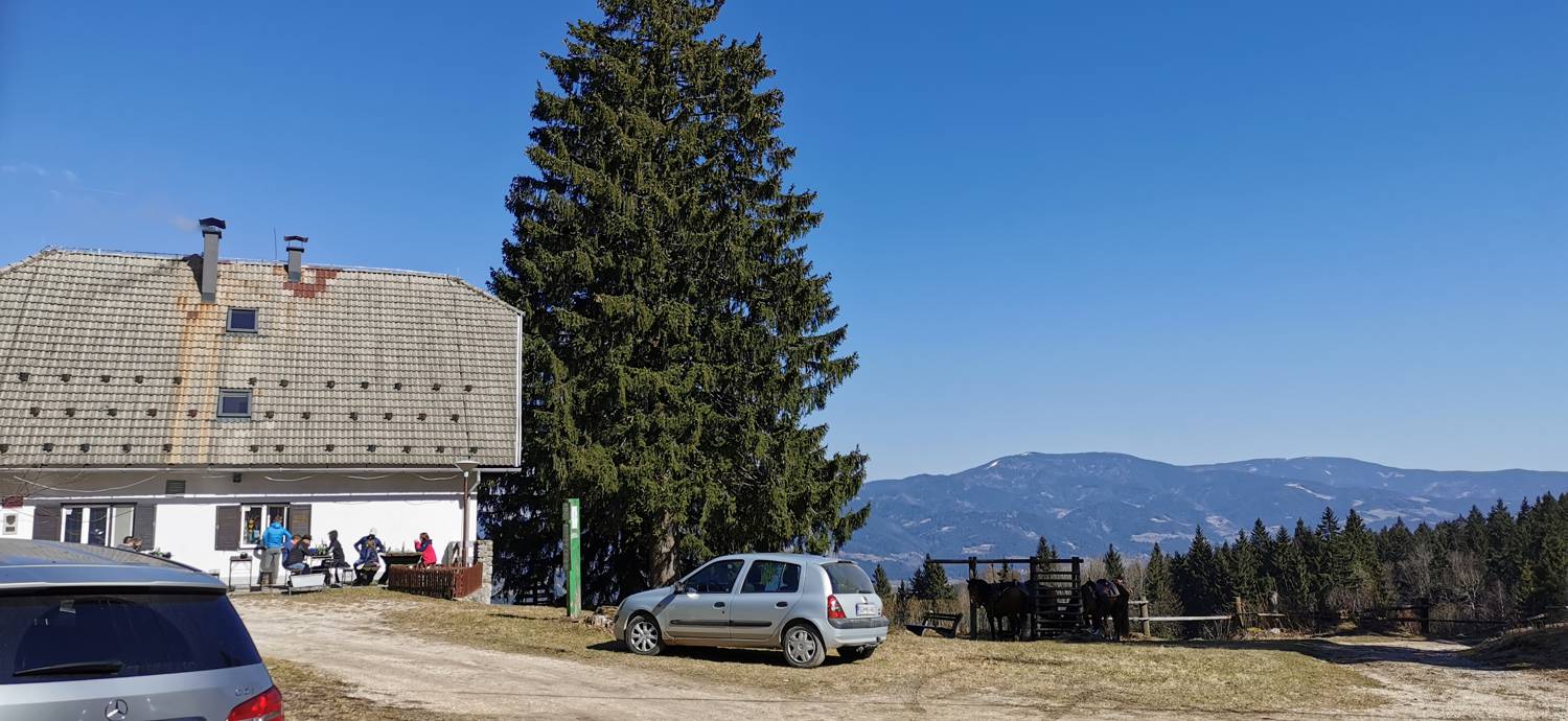
| Rating: | |
| Country: | Slovenia |
| Mountain range: | Karawanks |
| Trailhead: | Cerkev Sv. Roka (Sele) (582 m) |
| Destination: | Poštarski dom pod Plešivcem (805 m) |
| Trailhead latitude/longitude: | 46.5008 / 15.0276 |
| Destination latitude/longitude: | 46.4962 / 15.0128 |
| Difficulty: | Easy marked route  |
| Recommended equipment: | Hiking shoes Water |
From Smeri Velenje, head toward Slovenj Gradec. After Šmartno pri Slovenj Gradcu, turn left at the intersection toward Kotlje, and from there continue to the center of Slovenj Gradec, where you’ll take the third exit at the roundabout. We then continue straight for quite a while until we reach a fork in the road, which we’ll recognize by the bar on the right. Here, we turn left toward Sela and follow the road to the Church of St. Roch, where we park in the parking lot.
Trail description:From the parking lot, we continue along the road that leads past the church. We follow it to the fork in the road, where we turn left, as indicated by the signpost. We continue along the road to the next fork, where we turn right. From here, we continue along the road until a gravel road branches off to the left (signposted for Španžel), which we take. From there, continue past a house, and the path becomes a dirt track. This leads to meadows and the edge of the forest, where a signpost directs you along a narrow path into the woods. In the forest, continue along the path, which brings you back to the gravel road; join it, turn left, and in a few minutes you’ll reach your destination.
Additional tips:No additional tips.


