



Krtovše - Slap Pršjak (General)
0 h 20 min




 Weather
 Nearest webcam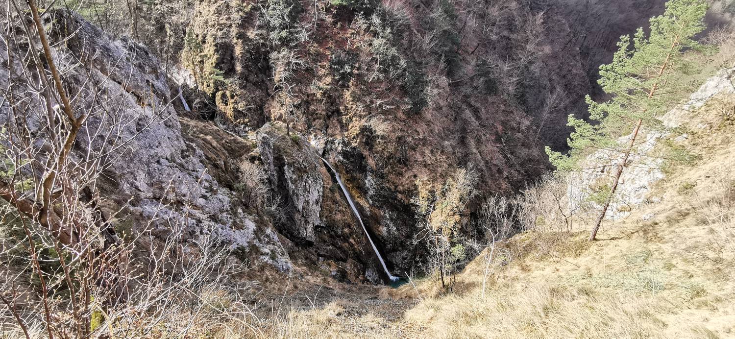
| Rating: | |
| Country: | Slovenia |
| Mountain range: | The Škofja Loka and Cerkno Hills and Jelovica |
| Trailhead: | Krtovše (255 m) |
| Destination: | Slap Pršjak (360 m) |
| Trailhead latitude/longitude: | 46.0569 / 13.827 |
| Destination latitude/longitude: | 46.0534 / 13.837 |
| Difficulty: | Easy marked route  |
| Recommended equipment: | Hiking shoes |
From Tolmin, head toward Most na Soči. Here, turn left and continue along the main road to Dolenja Trebuša. There, turn right over the bridge (toward Čepovan). We continue on toward the LIBO fish farm, but stop a short distance before it—specifically, when we see the Makuc snack bar by the road and, nearby, a sign pointing to the Pršjak Waterfall. We park in the designated area.
Trail description:We set off on foot along a gentle grassy path that soon leads us to a bridge. We cross the bridge, and immediately afterward the path begins to climb. The path forks once; we follow the sign for Pršjak. In the final stretch, the path levels out again, and we continue along it to a bench at the lookout point, where we have a beautiful view of the waterfall.
Additional tips:No additional tips.


