



Parkirišče Lovska koča Dobrovo - Planinsko zavetišče na Koradi (General)
0 h 20 min




 Weather
 Nearest webcam
| Rating: | |
| Country: | Slovenia |
| Mountain range: | The Goriška, Notranjska, and Snežnik Mountain Ranges |
| Trailhead: | Parkirišče Lovska koča Dobrovo (712 m) |
| Destination: | Planinsko zavetišče na Koradi (800 m) |
| Trailhead latitude/longitude: | 46.059 / 13.5623 |
| Destination latitude/longitude: | 46.0656 / 13.5585 |
| Difficulty: | Easy marked route  |
| Recommended equipment: | Hiking shoes |
From Nova Gorica, head toward Tolmin. Shortly after leaving Nova Gorica, you’ll go through a tunnel. After exiting the tunnel, turn left at the traffic-light-controlled intersection and cross the bridge. We then follow the road past the villages of Podsabotin and Kojsko to Gonjače. Here, at the roundabout, we take the first exit and drive past the village of Vrhovlje pri Kojskem and continue on. When the road forks, keep to the right and continue along the road to the parking lot of the Dobrovo hunting lodge, which you’ll recognize by the sign. Park here.
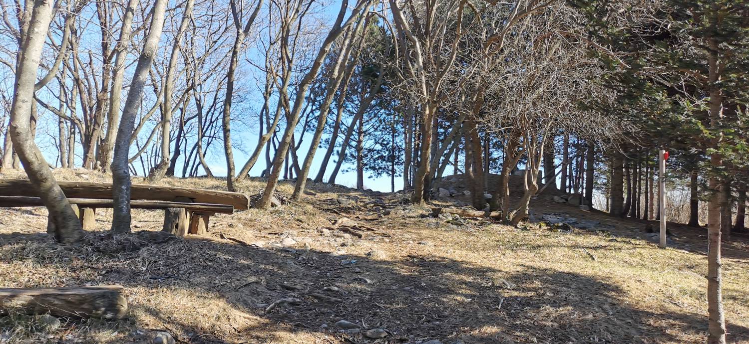
Trail description:We set off on foot along the trail, passing a sign that also indicates the shelter (hut) is 20 minutes away. Following the forest trail, we quickly ascend to the road, where we turn right. We walk along the road for just a few dozen meters, until we reach a spot where we’ll see an educational sign. Here, a trail branches off to the right, which we take. The trail leads into the forest and climbs moderately for most of the way. We stay on the trail all the way to our destination.
Additional tips:No additional tips.


