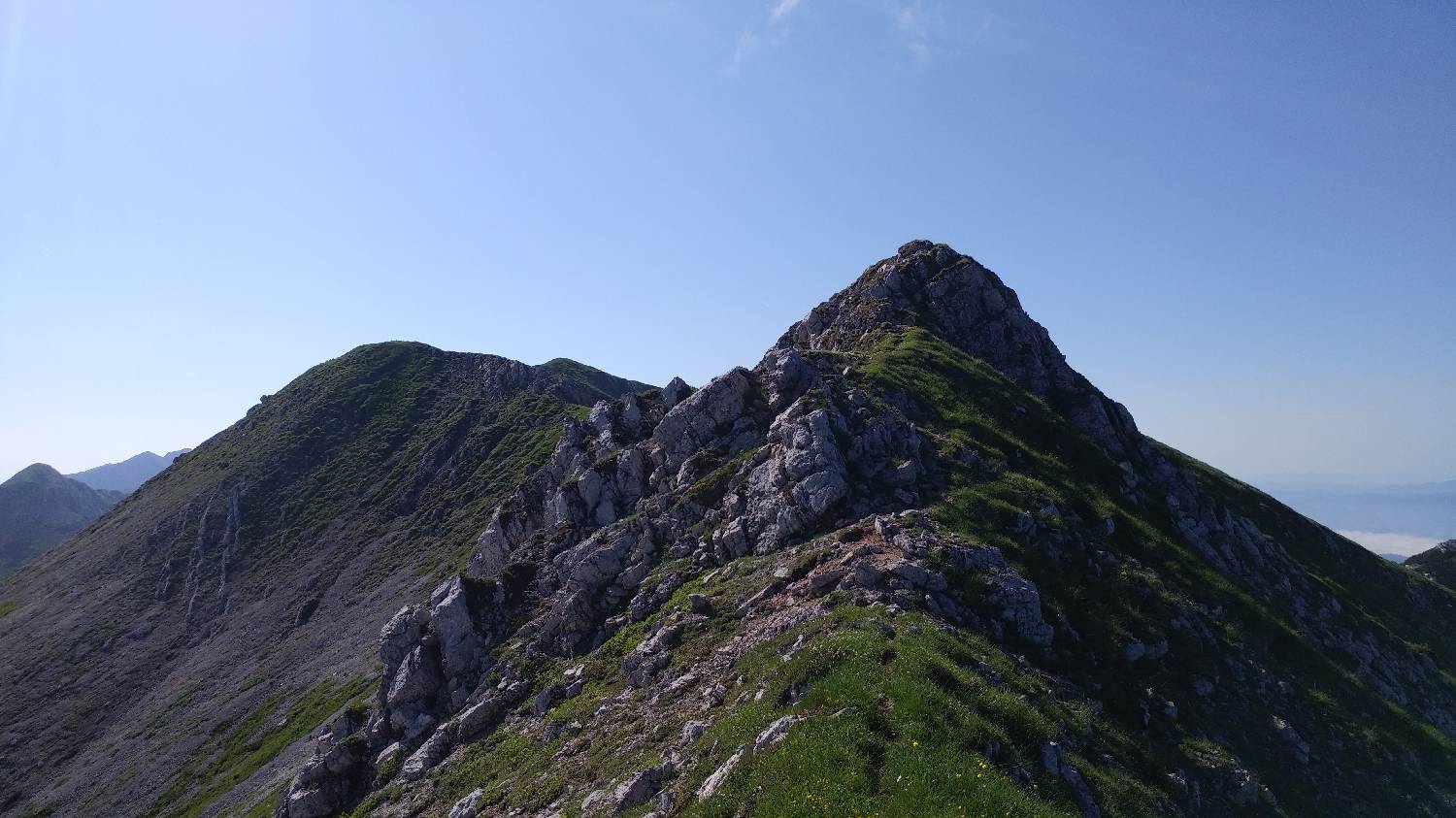
Planina Lom - Vrh Krnic (General)
- Hiking time3 h 30 min
- Difficulty: Easy marked route
- Destination:1896 m
- Elevation difference+806 m
Getting to the trailhead:
From Tolmin, we drive toward the village of Poljubin and on toward Ljubinj. In the village of Ljubinj, just past the Church of St. Michael, turn left onto a narrow, winding, uphill road that will take you to the foot of the Stador Mountain Hut after a few minutes’ drive. Continue straight ahead on the gravel road all the way to Planina Lom, where you can park in the designated area or a few dozen meters along the road before Planina Lom.
Trail description:
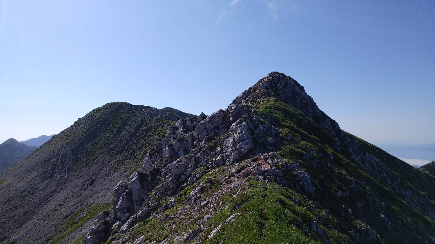
From the parking lot, we head to the Lom mountain pasture, and from there we continue along the road that passes by the huts onto a gently ascending gravel road through the forest. We follow the road all the way to the Kuk mountain pasture, which lies right next to the trail. We continue on foot along the road, which begins to climb past the huts. The road splits at a sharp bend—here, we keep to the left, staying on the main road. This road soon levels out and turns into the forest. We then continue through the forest for quite some time on level ground, all the way to a sign that directs us to the right into the forest—toward the hut at Planina Razor. When we reach the hut, we find the path continuing to the right behind it. Here, the trail turns into a small grove, as indicated by a signpost. In the grove, a trail branches off to the left toward Globoko, which is where we turn. The trail soon exits the grove and begins to wind its way uphill across grassy terrain. Throughout the ascent, we’re treated to wonderful views of the hut and the nearby high mountains. Just below the summit of Globoko stands a large military bunker; we go around it on the right side and will soon find ourselves at the Globoko Saddle. From here, on the other side of the saddle, we turn right toward Vogel. At first, the trail descends steeply—in this section, it is even secured with a rope—and then continues along a gentle path strewn with gravel. After about 5 minutes, you’ll come to an unmarked fork, where you’ll turn right onto a very steep trail that leads up to the crest of the ridge. From here, the trail levels off slightly again; we continue left along it and follow it all the way to the grassy summit.
Additional tips:
No additional tips.
Related trails