



Drnulk - Skopica (General)
1 h 0 min




 Weather
 Nearest webcam
| Rating: | |
| Country: | Slovenia |
| Mountain range: | The Goriška, Notranjska, and Snežnik Mountain Ranges |
| Trailhead: | Drnulk (761 m) |
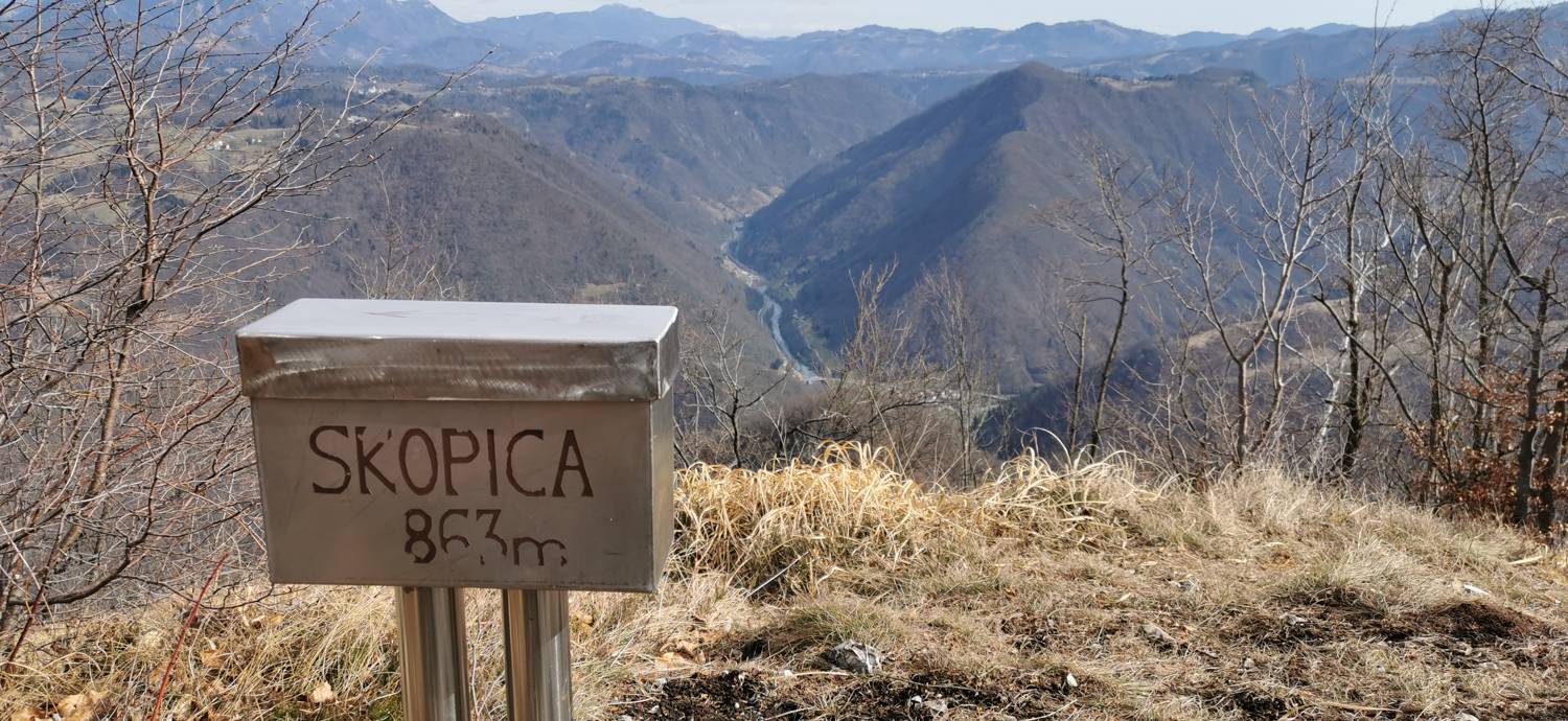
| Destination: | Skopica (863 m) |
| Trailhead latitude/longitude: | 46.067 / 13.8088 |
| Destination latitude/longitude: | 46.0932 / 13.8091 |
| Difficulty: | Easy unmarked route  |
| Recommended equipment: | Hiking shoes Water |
From Tolmin, head toward Most na Soči. At the intersection there, turn left and continue toward Bača pri Modreju. Just before the village, you’ll see a train station on the right and a right turn—take that turn. We drive past the train station and continue along the road for quite some time toward Čepovan. Just before the village, a road branches off to the right toward Dol. Trebuši, which we take. Follow the road—which soon becomes a gravel road—for about 2 kilometers, until you reach a turnoff onto a slightly rougher road leading toward the Vrše pasture. Park here in a suitable spot.
Trail description:We continue on foot along the road that passes the barrier and begins to climb gently through the forest. We keep going straight until we reach a major fork in the road, which is located outside the forest. At the fork, we continue along the main road (straight ahead), following the sign for Cilu rob. The trail then descends slightly to another fork, where we turn left toward Mali Vrši. We walk across a meadow, initially on level ground, but then the path begins to climb moderately. We climb to the top of a small hill, then the trail turns downhill and leads us in a few minutes to a pasture fence and a signpost pointing toward Mali Vrši. We cross a small grove and join a gravel road, where we turn right. We continue along the gravel road all the way to the hunting observation post. Just a few meters further on, there’s a sharp left turn, and shortly after that, a narrow, barely visible, unmarked trail branches off to the right toward Skopica. We join the trail and climb to the summit in a few minutes.
Additional tips:No additional tips.


