



Za gradom - Bivak Zanuso na Kolovratu (General)
0 h 40 min




 Weather
 Nearest webcam
| Rating: | |
| Country: | Italy |
| Mountain range: | The Goriška, Notranjska, and Snežnik Mountain Ranges |
| Trailhead: | Za gradom (1072 m) |
| Destination: | Bivak Zanuso na Kolovratu (1065 m) |
| Trailhead latitude/longitude: | 46.1861 / 13.6607 |
| Destination latitude/longitude: | 46.189 / 13.6421 |
| Difficulty: | Easy marked route  |
| Recommended equipment: | Hiking shoes |
Drive from Tolmin toward Kobarid and/or Nova Gorica. Along the way, you’ll cross the bridge over the Soča River and come to a roundabout, where you’ll take the first exit (toward Kobarid). Then drive just a few hundred meters down the road until you see a sign for Solarij and the Kolovrat mountain range (turn left). When the road brings you to the village of Volče, turn right at the first fork. Shortly after the turn, the road becomes winding. Stay on this road, which levels out after a few sharp turns. A longer stretch of road follows, where you’ll come to just one more fork; take the right turn there. Continue driving until you see an information kiosk and two mountain signs ahead. Park here and continue on foot.
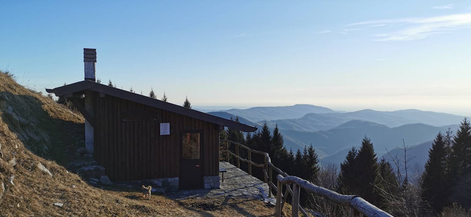
Trail description:We continue to the right of the signs, along a pleasant grassy trail that soon begins to climb. As we ascend, we’ll have a view of the neighboring Kolovrata Na gradu hill behind us the entire time. After the climb, you’ll walk along the flat ridge of Kolovrata for a while, after which the trail begins to descend, and you’ll see a road on your left. Descend along the trail, which soon begins to climb again. After the climb, the terrain slopes downward again, followed by another descent, slightly longer than the first. When the terrain levels out again, we’ll reach the road (we’ll recognize this spot by a small parking lot and a sign). Join the road and turn left. From here, it’s just a few more steps to the shelter, which is located on the right side of the road.
Additional tips:No additional tips.
![[object Object] - [object Object] main photo](https://api.mountainsgeek.com/media/IMG_20200206_160947_RSTrJ6v.jpg)


