



Planina Lom - Koča na Planini Razor (General)
1 h 45 min




 Weather
 Nearest webcam
| Rating: | |
| Country: | Slovenia |
| Mountain range: | Julian Alps |
| Trailhead: | Planina Lom (1090 m) |
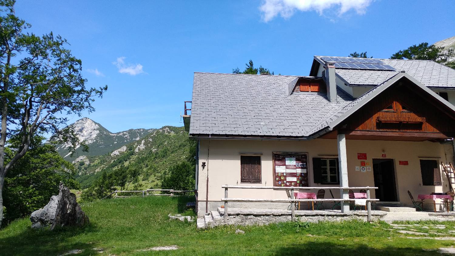
| Destination: | Koča na Planini Razor (1315 m) |
| Trailhead latitude/longitude: | 46.1996 / 13.7821 |
| Destination latitude/longitude: | 46.2357 / 13.7932 |
| Difficulty: | Easy unmarked route  |
| Recommended equipment: | Hiking shoes Water |
From Tolmin, we drive toward the village of Poljubin and on toward Ljubinj. In the village of Ljubinj, just past the Church of St. Michael, turn left onto a narrow, winding, uphill road that will take you to the foot of the Stador Mountain Hut after a few minutes’ drive. Continue straight ahead on the gravel road all the way to Planina Lom, where you can park in a designated spot or a few dozen meters along the road before Planina Lom.
Trail description:From the parking lot, we head to the Lom mountain pasture, and from there we continue along the road that passes by the huts, onto a moderately ascending gravel road through the forest. We follow the road all the way to the Kuk mountain pasture, which lies right next to the trail. From the mountain pasture, we continue along the road, which begins to climb past the huts. The path splits at a sharp bend—here, we keep to the left, following the main path. This path soon levels out and turns into the forest. We then continue through the forest for quite some time on level ground, all the way to a sign that directs us to the right into the woods—toward the hut at Planina Razor, which we reach in a few minutes.
Additional tips:No additional tips.
![[object Object] - [object Object] main photo](https://api.mountainsgeek.com/media/20180610_071753_HDR_7S2ByDK.jpg)
![[object Object] - [object Object] main photo](https://api.mountainsgeek.com/media/IMG_20191110_113930_YuR3X9p.jpg)
![[object Object] - [object Object] main photo](https://api.mountainsgeek.com/media/IMG_20191110_113549.jpg)
![[object Object] - [object Object] main photo](https://api.mountainsgeek.com/media/20180603_110332.jpg)
![[object Object] - [object Object] main photo](https://api.mountainsgeek.com/media/IMG_20191110_113930_nQ7Bub8.jpg)


