



Planina Lom - Planina Kuk (Podkuk) (General)
0 h 45 min




 Weather
 Nearest webcam
| Rating: | |
| Country: | Slovenia |
| Mountain range: | Julian Alps |
| Trailhead: | Planina Lom (1090 m) |
| Destination: | Planina Kuk (Podkuk) (1116 m) |
| Trailhead latitude/longitude: | 46.1996 / 13.7821 |
| Destination latitude/longitude: | 46.2116 / 13.787 |
| Difficulty: | Easy unmarked route  |
| Recommended equipment: | Hiking shoes |
From Tolmin, we drive toward the village of Poljubin and on toward Ljubinj. In the village of Ljubinj, just past the Church of St. Michael, turn left onto a narrow, winding, uphill road that will take you to the foot of the Stador Mountain Hut after a few minutes’ drive. Continue straight ahead on the gravel road all the way to Planina Lom, where you can park in a designated spot or a few dozen meters along the road before Planina Lom.
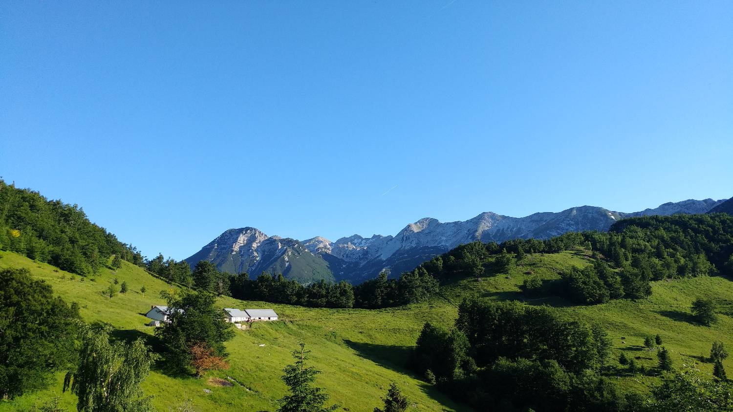
Trail description:From the parking lot, we head to the Lom mountain pasture, and from there we continue along the road that passes by the huts, onto a gently ascending gravel road through the forest. We follow the road all the way to the Kuk mountain pasture, which lies right along the route.
Additional tips:No additional tips.
![[object Object] - [object Object] main photo](https://api.mountainsgeek.com/media/20180603_090136_P9nSvap.jpg)
![[object Object] - [object Object] main photo](https://api.mountainsgeek.com/media/20180603_093627_LgzzePq.jpg)
![[object Object] - [object Object] main photo](https://api.mountainsgeek.com/media/20180603_095049_Hy7DxVt.jpg)
![[object Object] - [object Object] main photo](https://api.mountainsgeek.com/media/20180603_090136_bXcul9D.jpg)
![[object Object] - [object Object] main photo](https://api.mountainsgeek.com/media/20180610_071753_HDR_7S2ByDK.jpg)
![[object Object] - [object Object] main photo](https://api.mountainsgeek.com/media/20180610_092533.jpg)
![[object Object] - [object Object] main photo](https://api.mountainsgeek.com/media/20180610_083728_izxpBqH.jpg)
![[object Object] - [object Object] main photo](https://api.mountainsgeek.com/media/20180610_114509.jpg)
![[object Object] - [object Object] main photo](https://api.mountainsgeek.com/media/20180610_114509_Tie6SnX.jpg)
![[object Object] - [object Object] main photo](https://api.mountainsgeek.com/media/20180610_105245_nMksfrf.jpg)
![[object Object] - [object Object] main photo](https://api.mountainsgeek.com/media/20180610_110935_DncutPB.jpg)
![[object Object] - [object Object] main photo](https://api.mountainsgeek.com/media/20180610_090208_trdBODO.jpg)
![[object Object] - [object Object] main photo](https://api.mountainsgeek.com/media/20180610_100857.jpg)


