



Koča na planini Stador - Planina Kuk (Podkuk) (General)
0 h 45 min




 Weather
 Nearest webcam
| Rating: | |
| Country: | Slovenia |
| Mountain range: | Julian Alps |
| Trailhead: | Koča na planini Stador (1050 m) |
| Destination: | Planina Kuk (Podkuk) (1116 m) |
| Trailhead latitude/longitude: | 46.1899 / 13.7821 |
| Destination latitude/longitude: | 46.2116 / 13.787 |
| Difficulty: | Easy unmarked route  |
| Recommended equipment: | Hiking shoes Water |
From Tolmin, we drive toward the village of Poljubin and on toward Ljubinj. In the village of Ljubinj, shortly after the Church of St. Michael, we turn left onto a narrow, winding, uphill road that, after a few minutes’ drive, will take us right in front of the Stador Mountain Hut, where we park in the nearby parking lot.
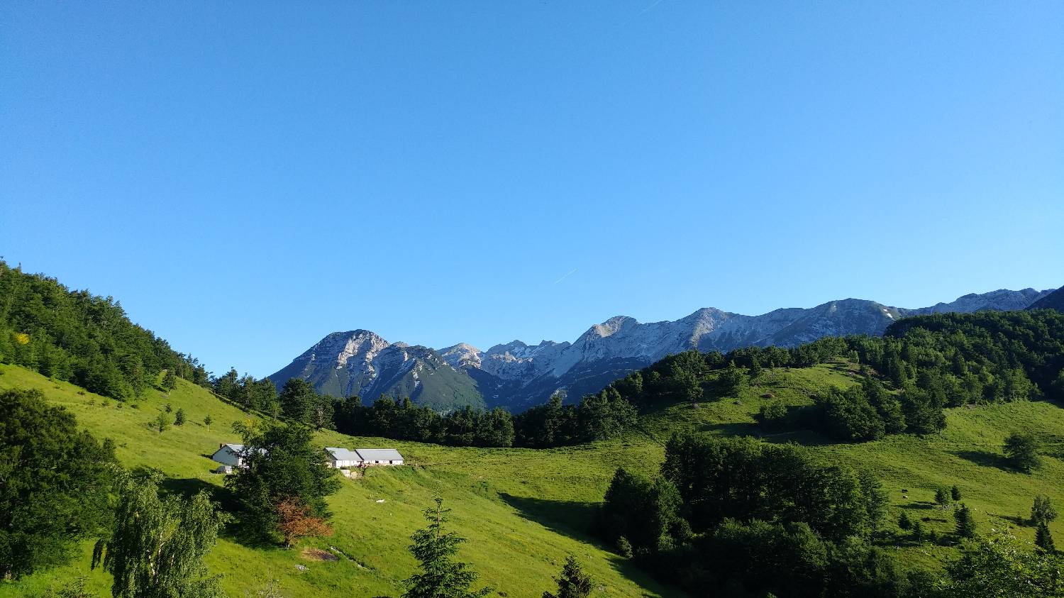
Trail description:From the parking lot, we continue on foot along the gravel road. The road immediately leads into the forest and remains mostly flat all the way to the Lom mountain pasture. From the Lom mountain pasture, we continue along the road, which passes by several huts, onto a moderately ascending gravel road through the forest. We follow the road all the way to the Kuk mountain pasture, which lies right next to the trail.
Additional tips:No additional tips.
![[object Object] - [object Object] main photo](https://api.mountainsgeek.com/media/20180603_090136_P9nSvap.jpg)
![[object Object] - [object Object] main photo](https://api.mountainsgeek.com/media/20180603_093627_LgzzePq.jpg)
![[object Object] - [object Object] main photo](https://api.mountainsgeek.com/media/20180603_095049_Hy7DxVt.jpg)
![[object Object] - [object Object] main photo](https://api.mountainsgeek.com/media/20180603_090136_bXcul9D.jpg)
![[object Object] - [object Object] main photo](https://api.mountainsgeek.com/media/20180610_071753_HDR_7S2ByDK.jpg)
![[object Object] - [object Object] main photo](https://api.mountainsgeek.com/media/20180610_092533.jpg)
![[object Object] - [object Object] main photo](https://api.mountainsgeek.com/media/20180610_083728_izxpBqH.jpg)
![[object Object] - [object Object] main photo](https://api.mountainsgeek.com/media/20180610_114509.jpg)
![[object Object] - [object Object] main photo](https://api.mountainsgeek.com/media/20180610_114509_Tie6SnX.jpg)
![[object Object] - [object Object] main photo](https://api.mountainsgeek.com/media/20180610_105245_nMksfrf.jpg)
![[object Object] - [object Object] main photo](https://api.mountainsgeek.com/media/20180610_110935_DncutPB.jpg)
![[object Object] - [object Object] main photo](https://api.mountainsgeek.com/media/20180610_090208_trdBODO.jpg)
![[object Object] - [object Object] main photo](https://api.mountainsgeek.com/media/20180610_100857.jpg)


