



Dolje - Vodel (Vodil vrh) (General)
1 h 50 min




 Weather
 Nearest webcam
| Rating: | |
| Country: | Slovenia |
| Mountain range: | Julian Alps |
| Trailhead: | Dolje (209 m) |
| Destination: | Vodel (Vodil vrh) (1044 m) |
| Trailhead latitude/longitude: | 46.1942 / 13.7145 |
| Destination latitude/longitude: | 46.2066 / 13.7221 |
| Difficulty: | Easy marked route  |
| Recommended equipment: | Hiking poles Hiking shoes Water Snack |
From Nova Gorica, head toward Tolmin. In town, at the traffic-light-controlled intersection, turn left toward Zatolmin. In the village, immediately past the restaurant on our left, we turn left at the fork. We continue along the road all the way to Dolj, where we’ll see a playground on our left, with a parking lot next to it, where we’ll park.
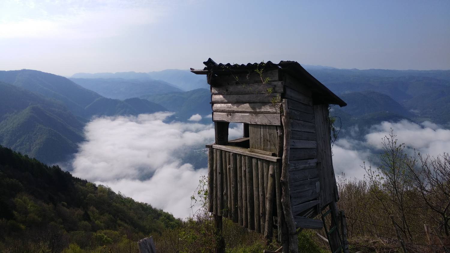
Trail description:We continue on foot along the road, but only as far as the first road junction on the right, where we turn. We continue along the road through the village, but only as far as the turnoff onto a concrete road that branches off to the right. We turn onto the narrower road and follow it uphill to the first sign for Grofovo Vodo. The road takes us past a weekend cottage into the forest, onto a gravel road, which we follow all the way to Podoreh, located outside the forest. We turn onto the left path, which leads back into the forest through a gate in the pasture. Continue along the cart track all the way to the marked fork. The path straight ahead leads to Mrzli vrh, but we’ll take the right-hand path, which takes us up to the pastures in just a few steps. We pass through the first gate, then climb a few dozen meters across the meadow until we see another gate on the right, which we also pass through. From here, a wonderful view of the valley opens up before us. We continue the ascent along a narrow trail and pass through one final gate. The trail then leads us into the forest and becomes somewhat steeper. We continue at this pace for quite some time, after which the trail leads out of the forest and back onto a meadow, from which we simply have to climb to the summit.
Additional tips:No additional tips.
![[object Object] - [object Object] main photo](https://api.mountainsgeek.com/media/20171118_094328.jpg)
![[object Object] - [object Object] main photo](https://api.mountainsgeek.com/media/20190502_090607_HDR.jpg)
![[object Object] - [object Object] main photo](https://api.mountainsgeek.com/media/20190502_090503.jpg)
![[object Object] - [object Object] main photo](https://api.mountainsgeek.com/media/20190502_090459.jpg)


