



Rudno polje na Pokljuki - Planina Praprotnica (General)
0 h 55 min




 Weather
 Nearest webcam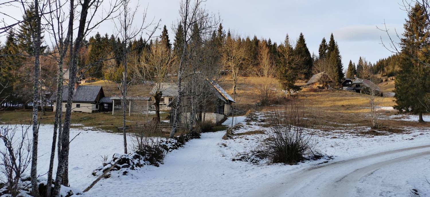
| Rating: | |
| Country: | Slovenia |
| Mountain range: | Julian Alps |
| Trailhead: | Rudno polje na Pokljuki (1347 m) |
| Destination: | Planina Praprotnica (1150 m) |
| Trailhead latitude/longitude: | 46.3461 / 13.9237 |
| Destination latitude/longitude: | 46.3234 / 13.9204 |
| Difficulty: | Easy marked route  |
| Recommended equipment: | Hiking shoes Water |
From Ljubljana, head toward the Gorenjska region. Exit the highway at the Bohinj / Pokljuka / Bled exit and continue along the road toward Lesce / Bled. At the roundabout in Bled, take the first exit and follow the main road all the way to Hotel Centra Pokljuka, where you can park in the large, well-maintained parking lot.
Trail description:We continue on foot along the road, following the signs for Uskovnica. We join a gravel road that leads us into the forest. At first, the path is flat, but then it begins to descend until it emerges from the forest again. Here, we’re treated to magnificent views of the high mountains. We continue along the trail, which eventually leads back into the forest and brings us to a major fork. We take the left path toward Planina Praprotnica. The flat trail then leads us to the mountain pasture.
Additional tips:No additional tips.


