



Solarij - Očna (General)
0 h 50 min




 Weather
 Nearest webcam
| Rating: | |
| Country: | Slovenia |
| Mountain range: | The Goriška, Notranjska, and Snežnik Mountain Ranges |
| Trailhead: | Solarij (952 m) |
| Destination: | Očna (906 m) |
| Trailhead latitude/longitude: | 46.1805 / 13.6677 |
| Destination latitude/longitude: | 46.1678 / 13.6879 |
| Difficulty: | Easy marked route  |
| Recommended equipment: | Hiking poles Hiking shoes Water |
From Tolmin, head toward Bovec. Shortly after crossing the bridge over the Soča River, you’ll come to a roundabout; take the second exit. Continue through the village of Volče and look for the sign for the Solarij Pass, which directs you to the right onto an uphill road. Follow this road for quite some time, all the way to Solarij, where the road forks. Here, turn left and park in the large parking lot.
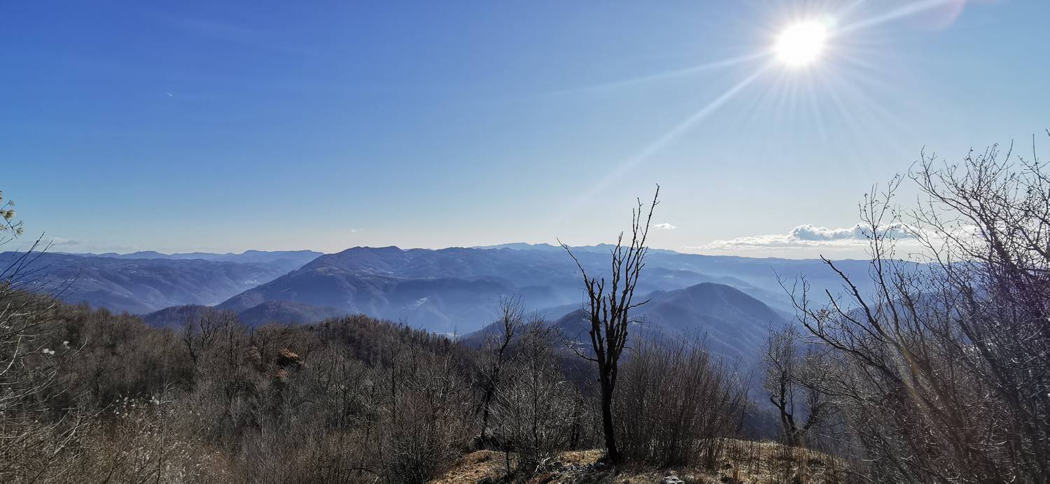
Trail description:We set off on foot along a gravel track that leads into the forest. We follow the track, which gradually narrows into a narrow path, turning right twice along the way. The descending path will lead us to a paved road; we’ll follow it for just a few meters, then turn left at the fork onto a gravel road that takes us to a larger intersection. We’ll find the hiking trail on the right, where a sign for Ježa also directs us. At first, we’ll walk along the gravel road, and then a sign will direct us to the right into the forest, where we’ll turn. A steep ascent through the forest follows, which levels off just a few minutes before reaching the summit of Ježa. When we reach Ježa, the trail turns and begins a steep descent toward the mountain hut. During the descent, we’ll come to a fork where we turn left toward Očna. We continue along the trail, which soon splits again. Take the right path and continue to another, slightly larger, fork. Here, too, take the right path, which quickly leads to a meadow at the end of which stands a small wooden cabin. Cross the meadow on the right side, and at the end of it, look for the path to continue on. From here, the trail begins to climb again and leads you to the summit in a few minutes.
Additional tips:No additional tips.
![[object Object] - [object Object] main photo](https://api.mountainsgeek.com/media/IMG_20191228_115212.jpg)


