



Avško - Čičer (General)
0 h 40 min




 Weather
 Nearest webcam
| Rating: | |
| Country: | Slovenia |
| Mountain range: | The Goriška, Notranjska, and Snežnik Mountain Ranges |
| Trailhead: | Avško (640 m) |
| Destination: | Čičer (726 m) |
| Trailhead latitude/longitude: | 46.1405 / 13.6704 |
| Destination latitude/longitude: | 46.126 / 13.6708 |
| Difficulty: | Easy unmarked route  |
| Recommended equipment: | Hiking shoes Water |
Coming from Nova Gorica, head toward Tolmin and follow the road to the village of Ročinj, where, at an intersection without traffic lights, turn left toward Kambreško, as indicated by a sign. Shortly after the turn, just before the church, the road will fork again. Take the right fork and follow it all the way to the village of Kambreško. Here, turn right toward the village of Srednje and follow the road until you reach that village. In the village, head toward Kambreško and follow the road all the way to a small bus stop, where the road turns left toward Globočak. Continue along the road to the village of Avško and look for a parking lot along the road.
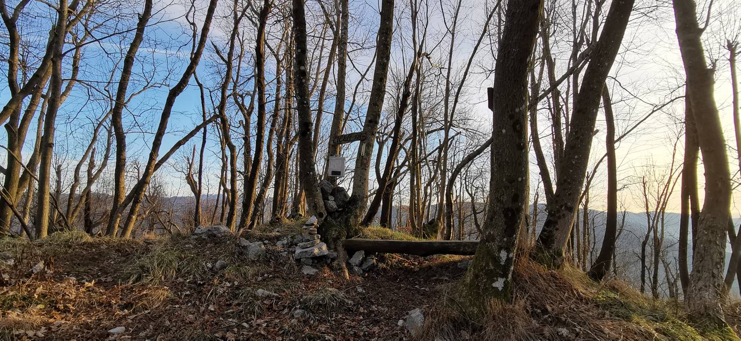
Trail description:We continue on foot through the village along the road, which turns into a dirt road just past the village and leads into the forest. A longer walk along the dirt road follows, which climbs gently. After a while, the dirt road reaches a fork, where we turn left and continue along it until a narrow forest trail branches off slightly to the left, which we then take. A moderate climb to the summit of Čičer follows.
Additional tips:No additional tips.
![[object Object] - [object Object] main photo](https://api.mountainsgeek.com/media/IMG_20200103_152913.jpg)
![[object Object] - [object Object] main photo](https://api.mountainsgeek.com/media/IMG_20220108_121354.jpg)


