



Planinski dom pod Ježo - Na Gradu (Kolovrat) (General)
1 h 30 min




 Weather
 Nearest webcam
| Rating: | |
| Country: | Slovenia, Italy |
| Mountain range: | The Goriška, Notranjska, and Snežnik Mountain Ranges |
| Trailhead: | Planinski dom pod Ježo (740 m) |
| Destination: | Na Gradu (Kolovrat) (1115 m) |
| Trailhead latitude/longitude: | 46.1634 / 13.6692 |
| Destination latitude/longitude: | 46.1836 / 13.6595 |
| Difficulty: | Easy marked route  |
| Recommended equipment: | Hiking poles Hiking shoes Water |
From Nova Gorica, head toward Tolmin. In the village of Ročinj, turn left toward Kambreško. Continue to that village, where you’ll turn right toward the village of Livek. From there, follow the road all the way to the Planinski dom pod Ježo mountain hut, which is located right next to the road.
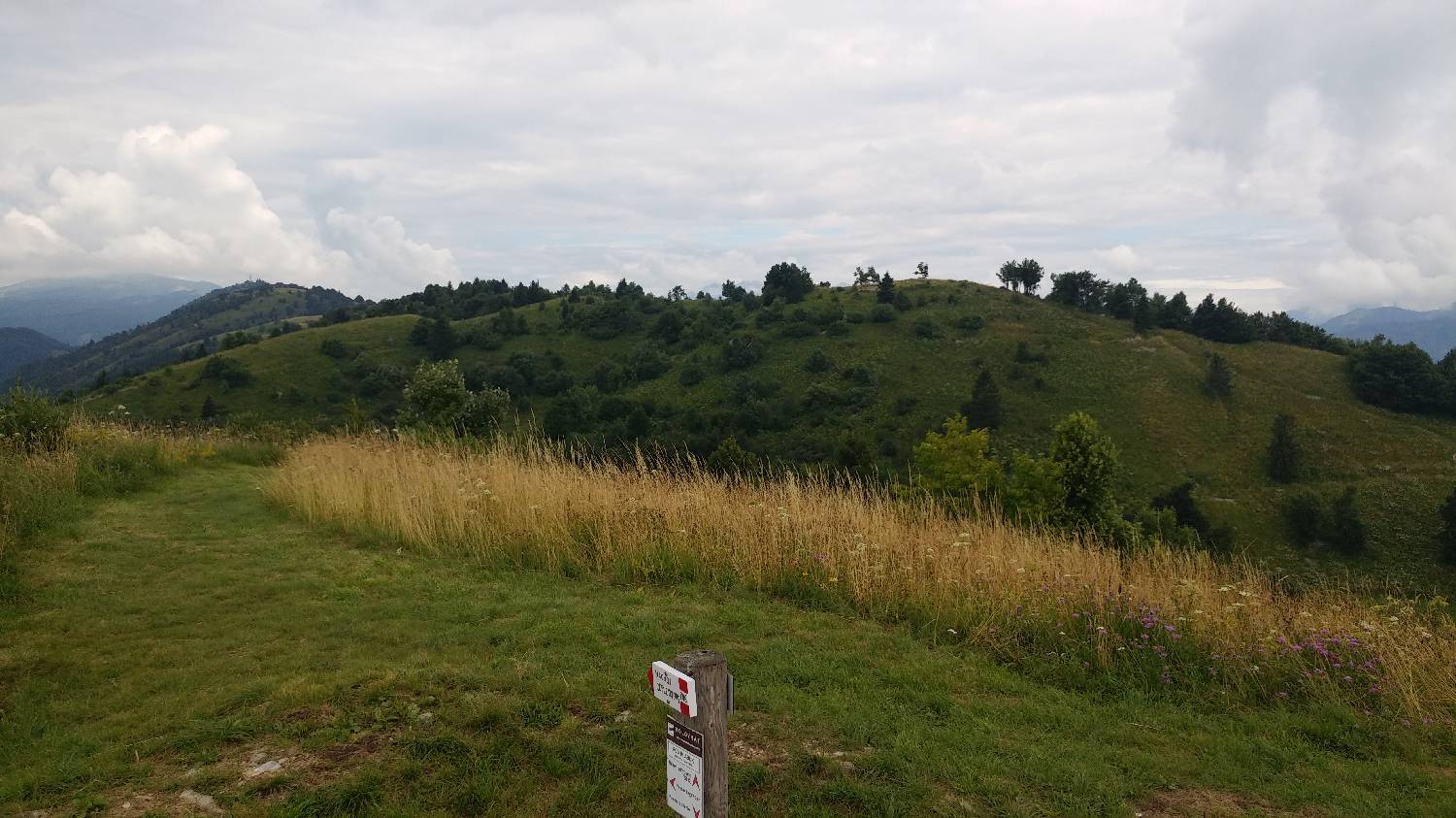
Trail description:We find the trail across the road, on a small grassy stretch that leads directly into the forest. The trail begins to climb steeply right away and continues in this manner all the way to the summit of Ježa. On the way to Ježa, there is only one fork in the trail; at this point, keep going straight. From the summit of Ježa, head onward toward Solarium and the summit of Na gradu. The trail soon begins to descend and continues downhill until it joins a dirt road. We join the dirt road, which leads us to a major intersection in just a few steps. We take the left path, which leads to a paved road. Walk a few meters along the road, then rejoin the forest trail on the right side of the road. The trail begins to climb more steeply; in one section, it’s even somewhat more precipitous, and safety ropes have been installed for protection. After a short climb, the trail leads to a paved road, where there is also an intersection. We continue diagonally to the right across the road, as indicated by a signpost. The trail leads us back into the forest and begins to climb. After a short while, we rejoin the road, but only briefly, as the trail soon turns left back into the forest. A gentle ascent follows to a rocky fork, where you can take either path, as they soon merge into one. We continue along the trail from the forest onto a meadow, up which we climb to the summit.
Additional tips:No additional tips.
![[object Object] - [object Object] main photo](https://api.mountainsgeek.com/media/20171126_135945.jpg)
![[object Object] - [object Object] main photo](https://api.mountainsgeek.com/media/20180722_111553_JhXdJGr.jpg)
![[object Object] - [object Object] main photo](https://api.mountainsgeek.com/media/20180722_111601_tJX9CpX.jpg)


