



Planina Srednica - Planina Črče (General)
1 h 15 min




 Weather
 Nearest webcam
| Rating: | |
| Country: | Slovenia |
| Mountain range: | Julian Alps |
| Trailhead: | Planina Srednica (430 m) |
| Destination: | Planina Črče (800 m) |
| Trailhead latitude/longitude: | 46.2381 / 13.7232 |
| Destination latitude/longitude: | 46.2356 / 13.7114 |
| Difficulty: | Easy marked route  |
| Recommended equipment: | Hiking shoes Water |
Drive to Tolmin and, at the main traffic-light-controlled intersection, turn toward the village of Zatolmin. Once you reach Zatolmin, turn right past the Zatolmin restaurant toward the Tolmin Gorges. From here, drive just a few dozen meters, and at the next possible fork—right before the Gugala cheese factory—turn left. From here on, follow the road, which turns into a gravel road past the Church of St. Peter. A longer drive through the forest follows, which, after about half an hour, brings us to a fork where the road to Sv. Duh na Javorci branches off to the left, while we continue straight ahead for a few dozen meters, all the way to the barrier on the road, in front of which we park.
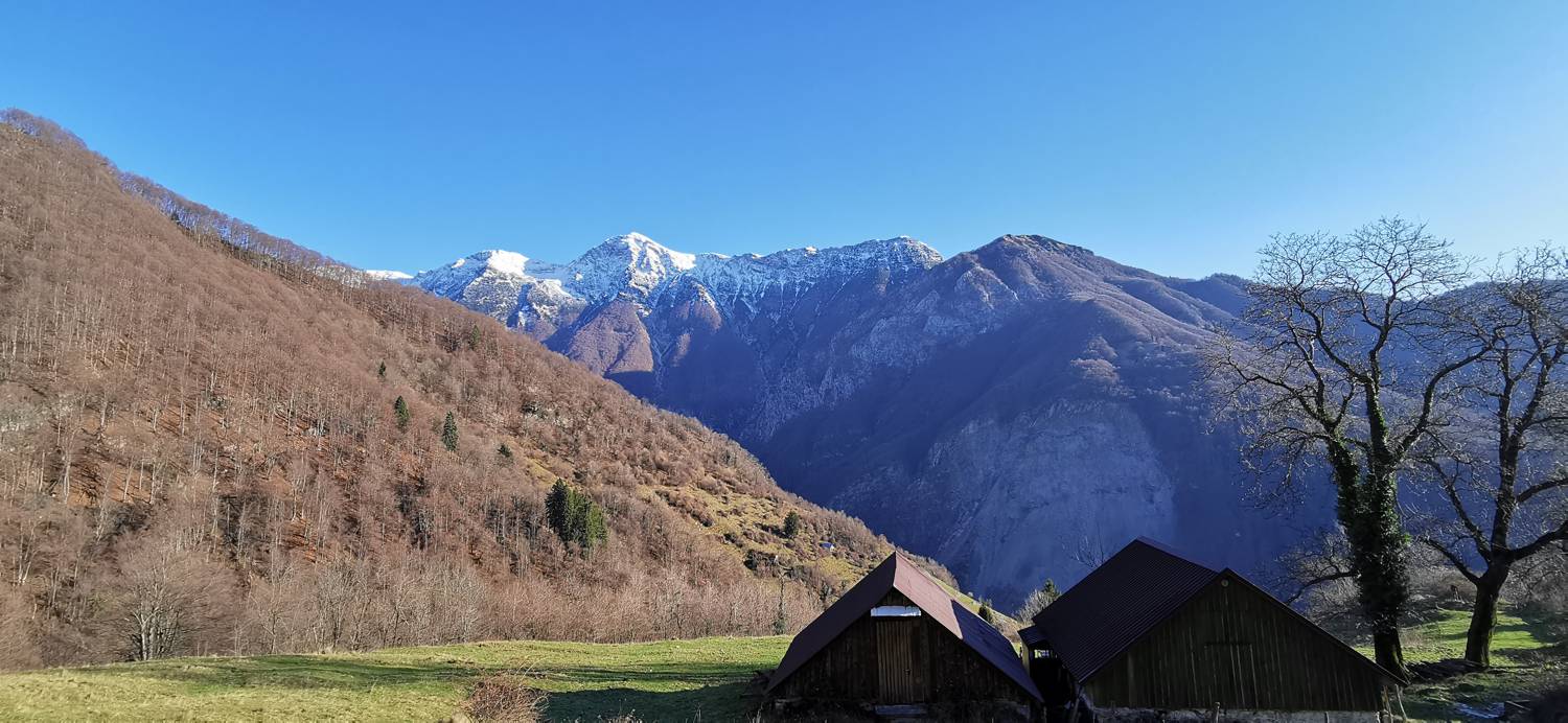
Trail description:From the parking lot, head onto the narrow trail located above the parking lot sign. Follow the trail as it climbs quickly to the two huts on Planina Srednica, past which a narrow concrete road runs. We join the road, which begins to climb steeply toward Javorca. We pass the church on the left; from here on, the path levels out somewhat. Further along, you’ll come to two more houses surrounded by a fence. Just before the fence, take a sharp left onto a gravel path, which levels out and soon turns into a grassy trail. The grassy trail then leads into the forest and crosses a small stream. A longer ascent follows, offering views of the valley and the nearby high mountains, which continues all the way to the small Črče Mountain.
Additional tips:No additional tips.


