



Koča na Klopnem vrhu - Klopni vrh (General)
Leva pot
0 h 15 min




 Weather
 Nearest webcam
| Rating: | |
| Country: | Slovenia |
| Mountain range: | Pohorje and the rest of northeastern Slovenia |
| Trailhead: | Koča na Klopnem vrhu (1260 m) |
| Destination: | Klopni vrh (1340 m) |
| Trailhead latitude/longitude: | 46.5018 / 15.3991 |
| Destination latitude/longitude: | 46.498 / 15.3921 |
| Difficulty: | Easy marked route  |
| Recommended equipment: | Hiking shoes |
From Ljubljana, take the highway toward Štajerska. Exit the highway at the Celje–Center exit and continue toward Zreče. In Zreče, you’ll come to a roundabout; take the third exit (sign for “center”). Continue along the main road, which passes the Tuš Kea supermarket and the Pod Roglo Hotel, and then begins a steep, winding climb up to the Rogla Ski Resort. Continue past the ski resort along the road, which will take you to the Koča na Pesku mountain hut after a few minutes’ drive. From there, continue along the road, which soon turns into a gravel road. We continue all the way to a major intersection, which we’ll recognize by the directional signs and the sign for Rogla, where we turn left toward the Pesek Mountain Hut. We follow the road all the way to the hut, where we park.
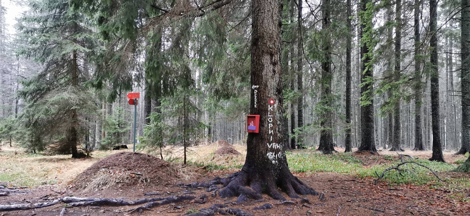
Trail description:We find the trail on the left side of the hut, where a signpost also directs us. The trail, which is flat at first, leads us through the forest and then joins a gravel road for a short while. We continue along it only until a forest trail branches off to the right again, at which point we turn onto it. The trail begins to climb moderately and soon leads us to the summit.
Additional tips:No additional tips.
![[object Object] - [object Object] main photo](https://api.mountainsgeek.com/media/IMG_20191222_091550.jpg)
![[object Object] - [object Object] main photo](https://api.mountainsgeek.com/media/IMG_20191222_095726.jpg)


