



Koča na Pesku - Koča na Klopnem vrhu (General)
Po cesti
2 h 30 min




 Weather
 Nearest webcam
| Rating: | |
| Country: | Slovenia |
| Mountain range: | Pohorje and the rest of northeastern Slovenia |
| Trailhead: | Koča na Pesku (1386 m) |
| Destination: | Koča na Klopnem vrhu (1260 m) |
| Trailhead latitude/longitude: | 46.4672 / 15.344 |
| Destination latitude/longitude: | 46.5018 / 15.3991 |
| Difficulty: | Easy marked route  |
| Recommended equipment: | Hiking poles Hiking shoes Water |
From Ljubljana, take the highway toward Štajerska. Exit the highway at the Celje–Center exit and continue toward Zreče. In Zreče, you’ll come to a roundabout; take the third exit (sign for “center”). Continue along the main road, which passes the Tuš Kea supermarket and the Pod Roglo Hotel, and then begins a steep, winding ascent to the Rogla Ski Resort. We continue past the ski resort, following the road, which after a few minutes’ drive will take us to the Pesek mountain hut, where we park in the lot in front of it.
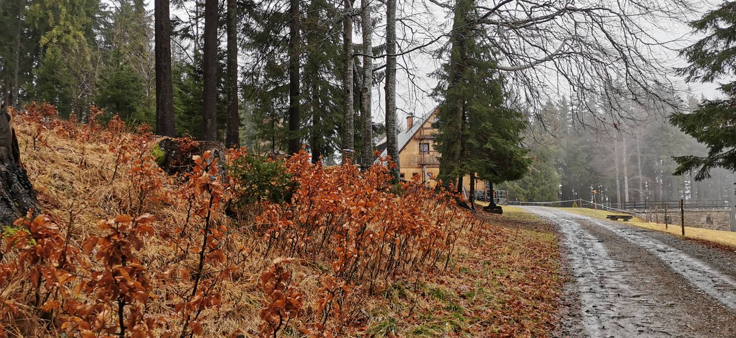
Trail description:We continue on foot along the road, which is paved at first but soon turns into a gravel road. This is followed by a walk of just under an hour across fairly flat terrain, after which we’ll reach a crossroads. Here, we turn left toward Klopni Vrh. We continue along the gravel road, which, after a good hour’s walk, leads us to the Klopni Vrh Hut.
Additional tips:No additional tips.
![[object Object] - [object Object] main photo](https://api.mountainsgeek.com/media/IMG_20191222_085957.jpg)
![[object Object] - [object Object] main photo](https://api.mountainsgeek.com/media/IMG_20191222_091538.jpg)
![[object Object] - [object Object] main photo](https://api.mountainsgeek.com/media/IMG_20191222_085946.jpg)
![[object Object] - [object Object] main photo](https://api.mountainsgeek.com/media/IMG_20191222_091550.jpg)


