



Razdrto - Vojkova koča na Nanosu (General)
Strma pot
1 h 45 min




 Weather
 Nearest webcam
| Rating: | |
| Country: | Slovenia |
| Mountain range: | The Goriška, Notranjska, and Snežnik Mountain Ranges |
| Trailhead: | Razdrto (574 m) |
| Destination: | Vojkova koča na Nanosu (1240 m) |
| Trailhead latitude/longitude: | 45.7592 / 14.0619 |
| Destination latitude/longitude: | 45.7721 / 14.0531 |
| Difficulty: | Difficult marked route  |
| Recommended equipment: | Hiking shoes Water |
From Postojna, take the highway toward Primorska. Exit the highway at the Razdrto exit and, immediately after that, turn left at the fork. Continue along the road, which will soon lead you to another fork. Take the right, narrower road, which is also indicated by the sign for Razdrto. In the village, you’ll soon see a monument on your right and a right turn—take that turn. Here, you’ll already notice the first signs for Nanos. After driving just a few hundred meters more, you’ll see a large, well-maintained parking lot just before the road crosses the highway. Park here.
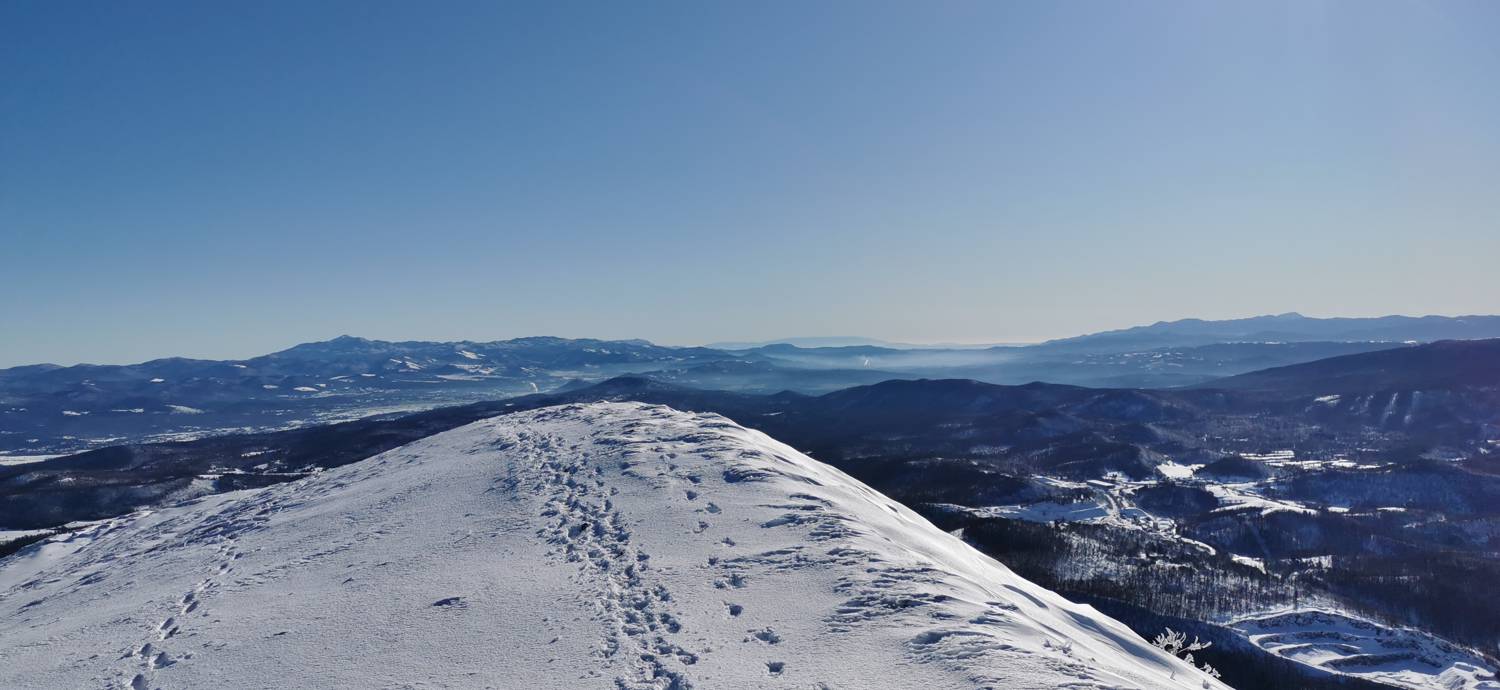
Trail description:We continue on foot across the bridge and turn left immediately afterward. We continue along the road, from which a narrow path branches off to the right after a few dozen meters; we turn onto this path. Next, we cross a meadow with a moderate incline, and then the trail leads into the forest. We continue walking through the forest for a few minutes, after which we’ll come to a fork with signposts. Take the steep path and turn right. The trail will be somewhat gentler at first, but it will soon begin to climb more steeply and lead you through the forest on a winding path for quite some time. In the second half of the trail, the path becomes somewhat more challenging, as it leads right alongside precipitous areas. These sections of the trail are secured with ropes and pitons. Once the more challenging section ends, the trail becomes a grassy path again, and in a few minutes you’ll reach the summit.
Additional tips:No additional tips.
![[object Object] - [object Object] main photo](https://api.mountainsgeek.com/media/IMG_20191214_113706.jpg)


