



Planina Kuhinja - Planina Leskovca (General)
- Hiking time0 h 45 min
- Difficulty: Easy marked route
- Destination:1230 m
- Elevation difference+239 m
Getting to the trailhead:
OPTION 1: If you’re coming from Nova Gorica toward Tolmin, turn left at the only traffic-light-controlled intersection toward Zatolmin (if you’re coming from Most na Soči or Ljubljana, turn right at this intersection). Soon the road forks (you’ll see a park and a church at the fork), where you turn left (follow the blue sign for the campground). Continue straight along the road, through the entire town of Tolmin and the villages of Dolje, Gabrje, Volarje, and Selišče, until you reach the village of Kamno. Here, just before the end of the village, immediately after passing the bar on the right, turn right (sign for the villages of Vrsno and Krn). Then follow this winding and increasingly narrow road through those villages and a little further to the parking lot just below the Kuhinja mountain pasture. Park here. OPTION 2: Drive into Tolmin and continue along the road toward Kobarid. When you reach the fork with the sign for Kamno, turn right. Drive across the bridge and continue along the increasingly narrow, ascending road toward the villages of Vrsno and Krn. After passing these villages, continue driving a few hundred meters until you reach the parking lot below the Kuhinja mountain pasture. Park here.
Trail description:
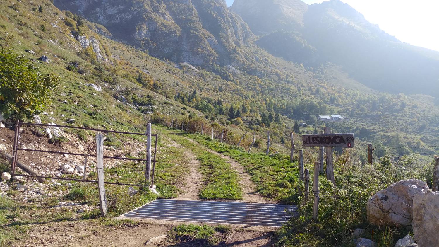
From the parking lot, continue along the road on the right, following the signs for Planina Zaslap. Keep to the right at the next fork as well. The road—concrete in some places and gravel in others—climbs quite steeply and, after about half an hour of walking, leads us to the first road-level cattle gate. From here on, the road turns into a rough dirt track and continues gently past meadows to the small mountain pasture of Leskovca.
Additional tips:
No additional tips.

